Start here
How to measure land area on a map
Choose a boundary, place points in order and understand the area estimate.
Read the guide →LAND RULER BLOG
Walk a boundary with GPS, hand a measured project to your team with photos and notes, or prepare an outline for a drone job. Explore illustrated steps, worked calculations and practical field guides.
17 guides · 5 topic groups · 4 interactive examples
Start here
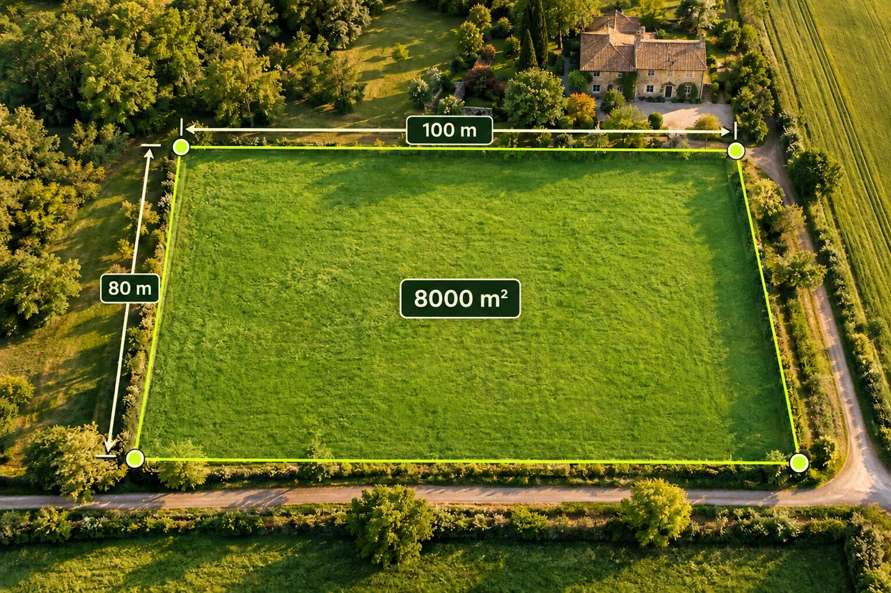
Choose a boundary, place points in order and understand the area estimate.
Read the guide →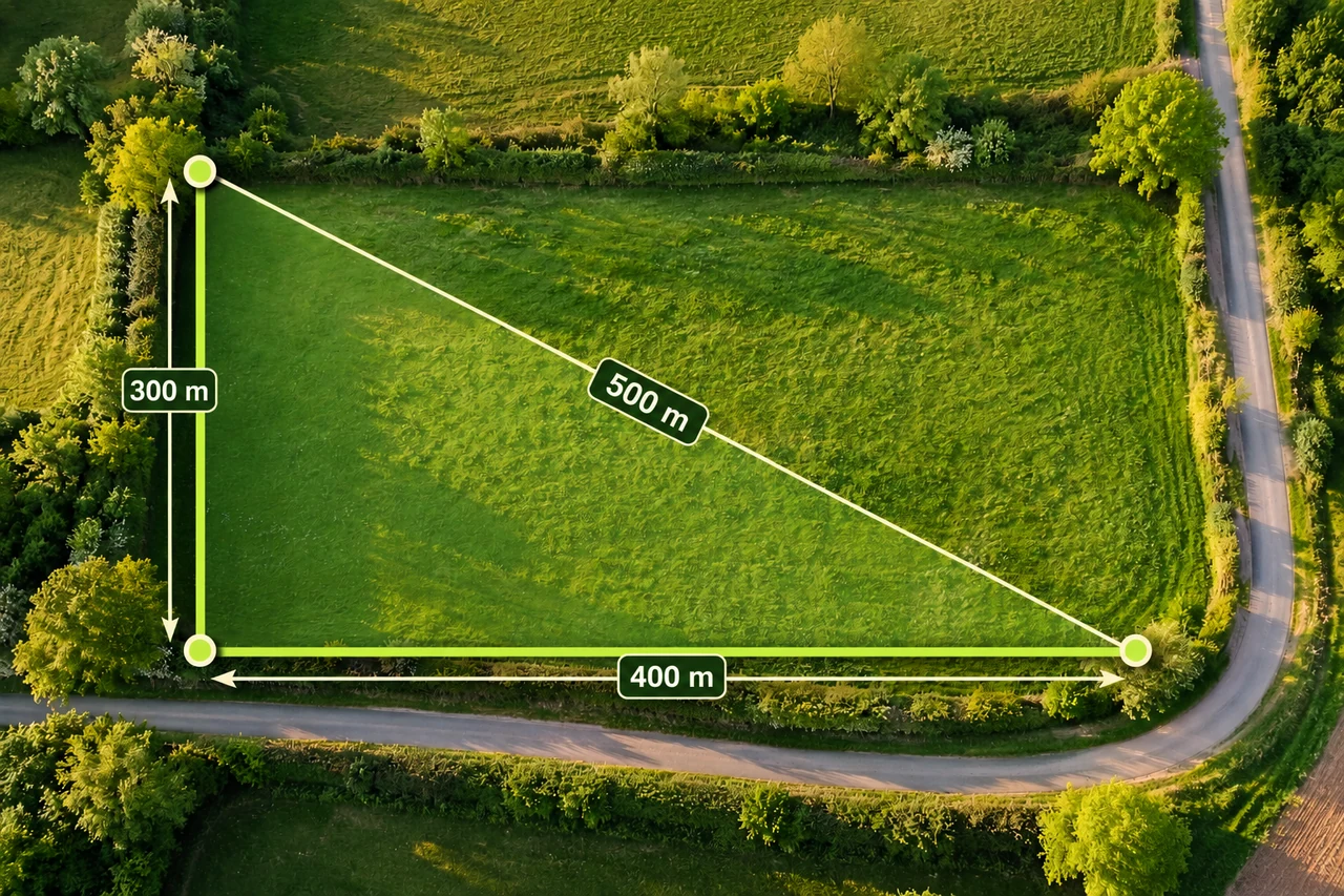
Start here
Distinguish a direct line, a manually traced path and a road route.
Read the guide →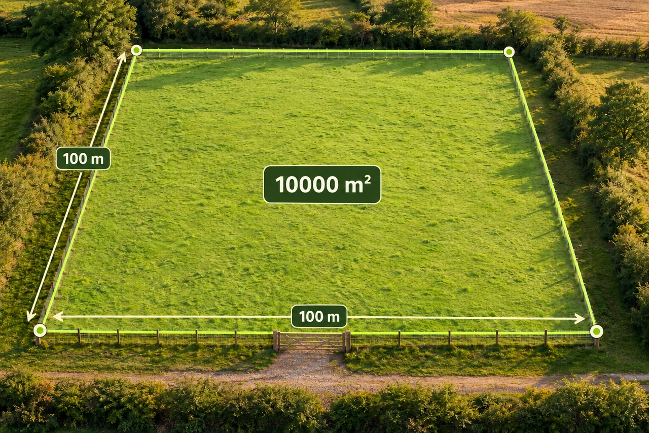
Planning and quantities
Compare three one-hectare shapes, subtract a gate, and turn perimeter into a careful first fencing materials estimate.
Read the guide →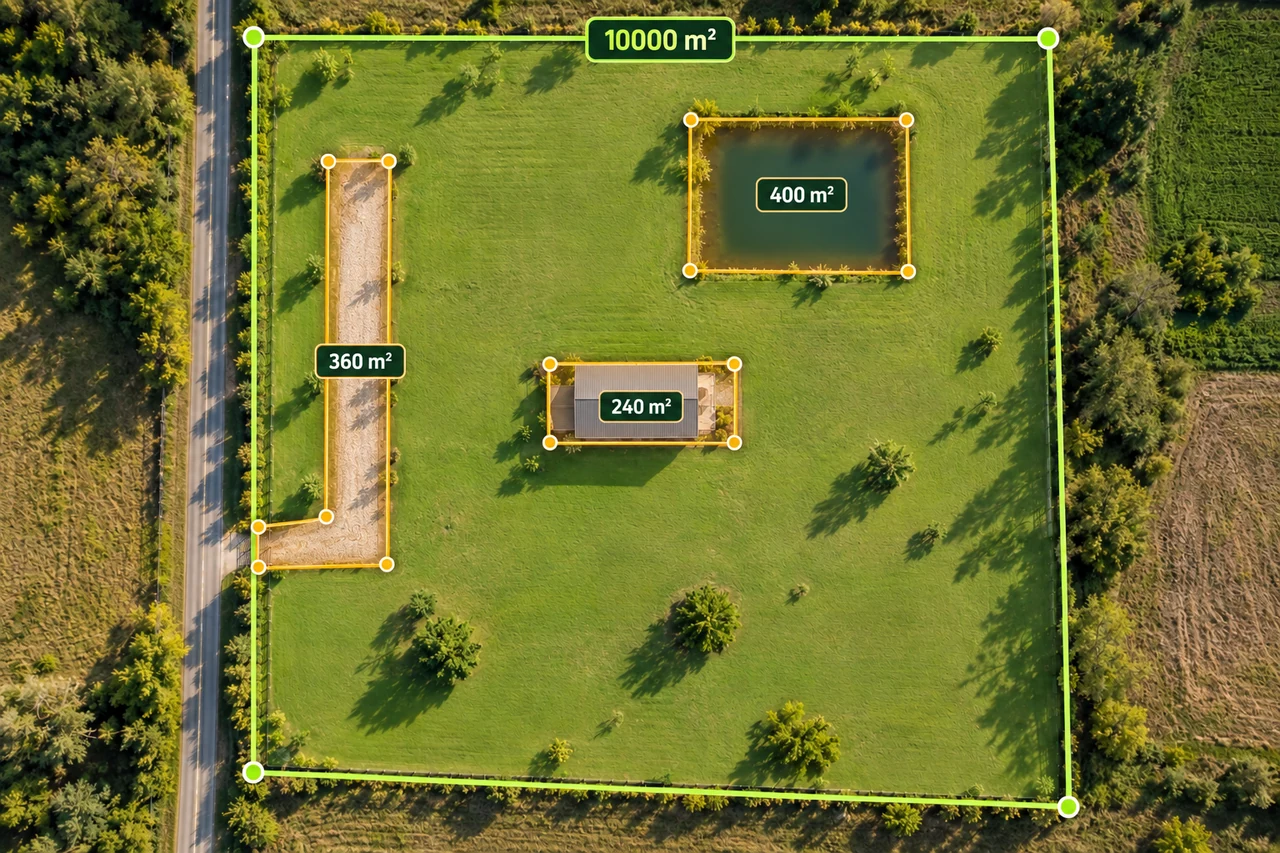
Planning and quantities
Build a transparent gross-to-net land area worksheet with buildings, access and water exclusions, including overlapping shapes.
Read the guide →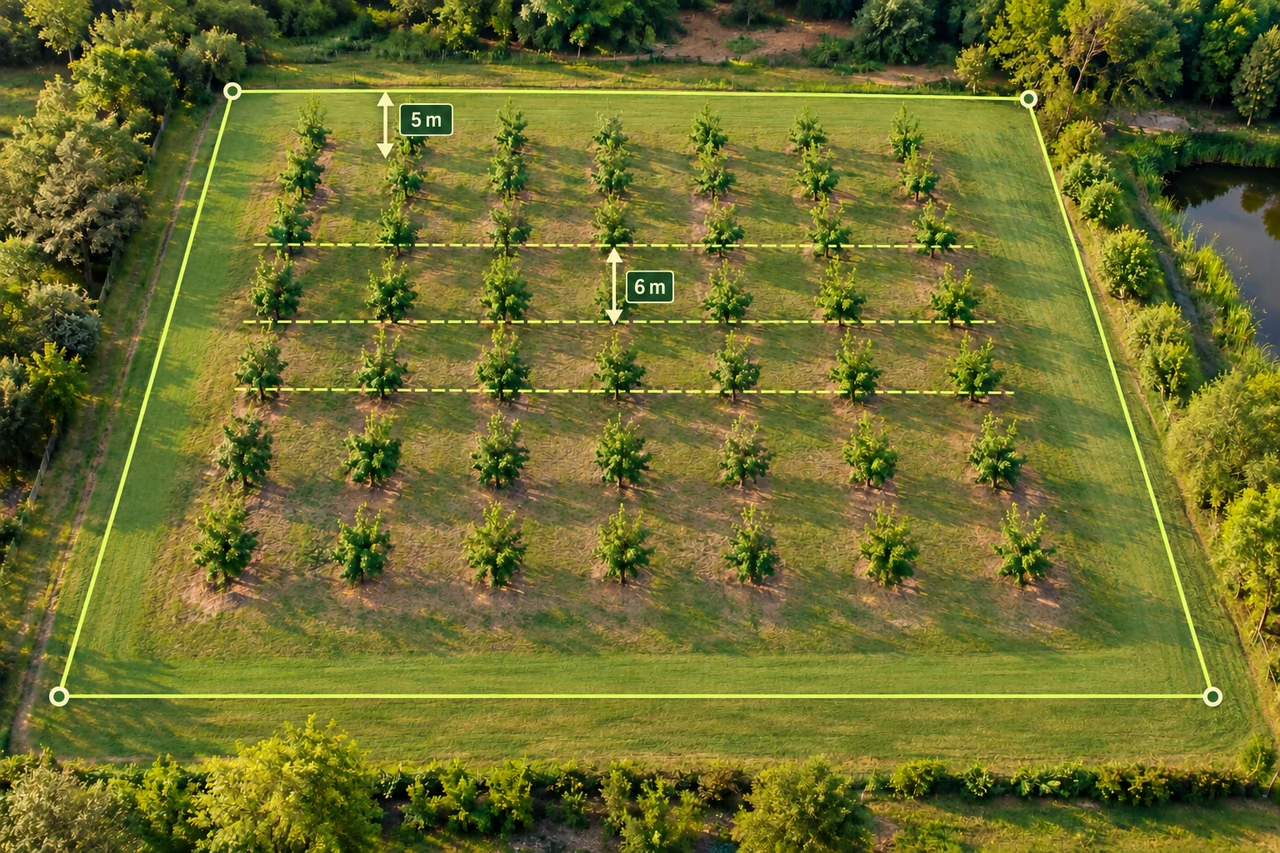
Planning and quantities
Work through a 100 × 60 m plot, 5 m margins and 6 m spacing to see why a grid count differs from area divided by spacing.
Read the guide →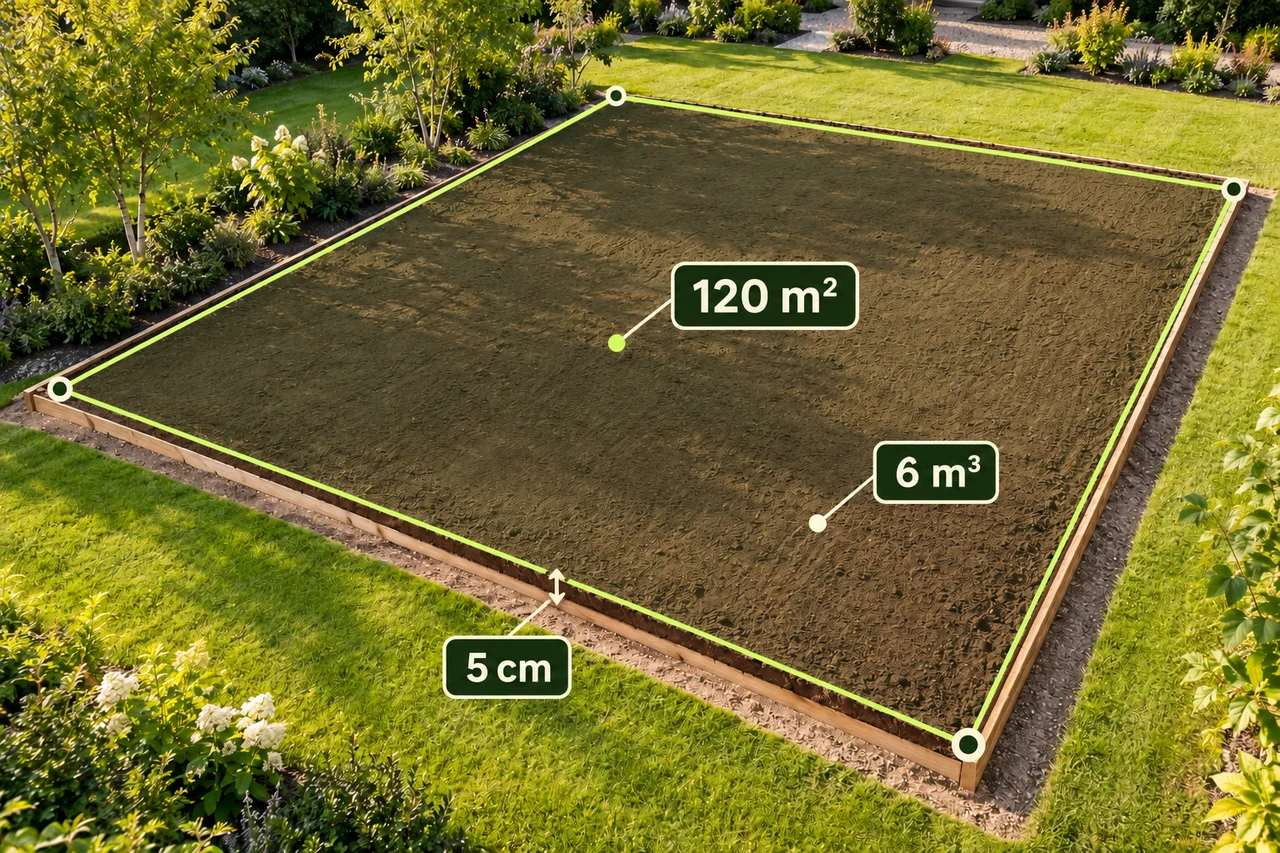
Planning and quantities
Convert centimetres to metres and calculate a 120 m² layer at 5 cm depth, with practical checks before ordering soil.
Read the guide →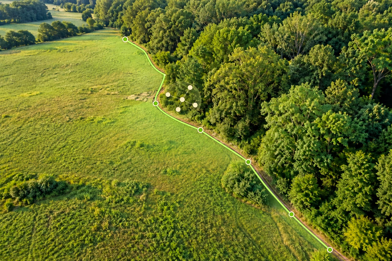
Accuracy and coordinates
Separate phone GPS position, imagery alignment and boundary tracing when estimating land area. Understand uncertainty without misleading accuracy guarantees.
Read the guide →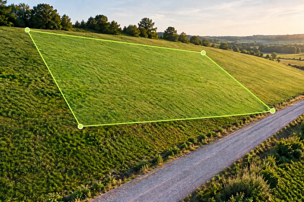
Accuracy and coordinates
Learn why map area and hillside surface area differ, calculate a uniform 20° slope example, and avoid applying average slope to irregular terrain.
Read the guide →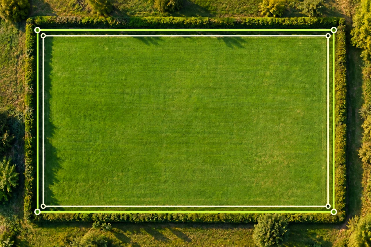
Accuracy and coordinates
Troubleshoot different land area results by comparing boundaries, units, imagery and point placement. Follow a worked 5,000 vs 4,704 m² example.
Read the guide →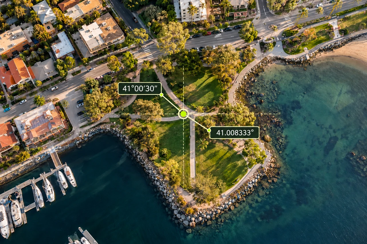
Accuracy and coordinates
Read coordinate labels, convert degrees minutes seconds to decimal degrees, and check order, hemisphere and datum before locating land on a map.
Read the guide →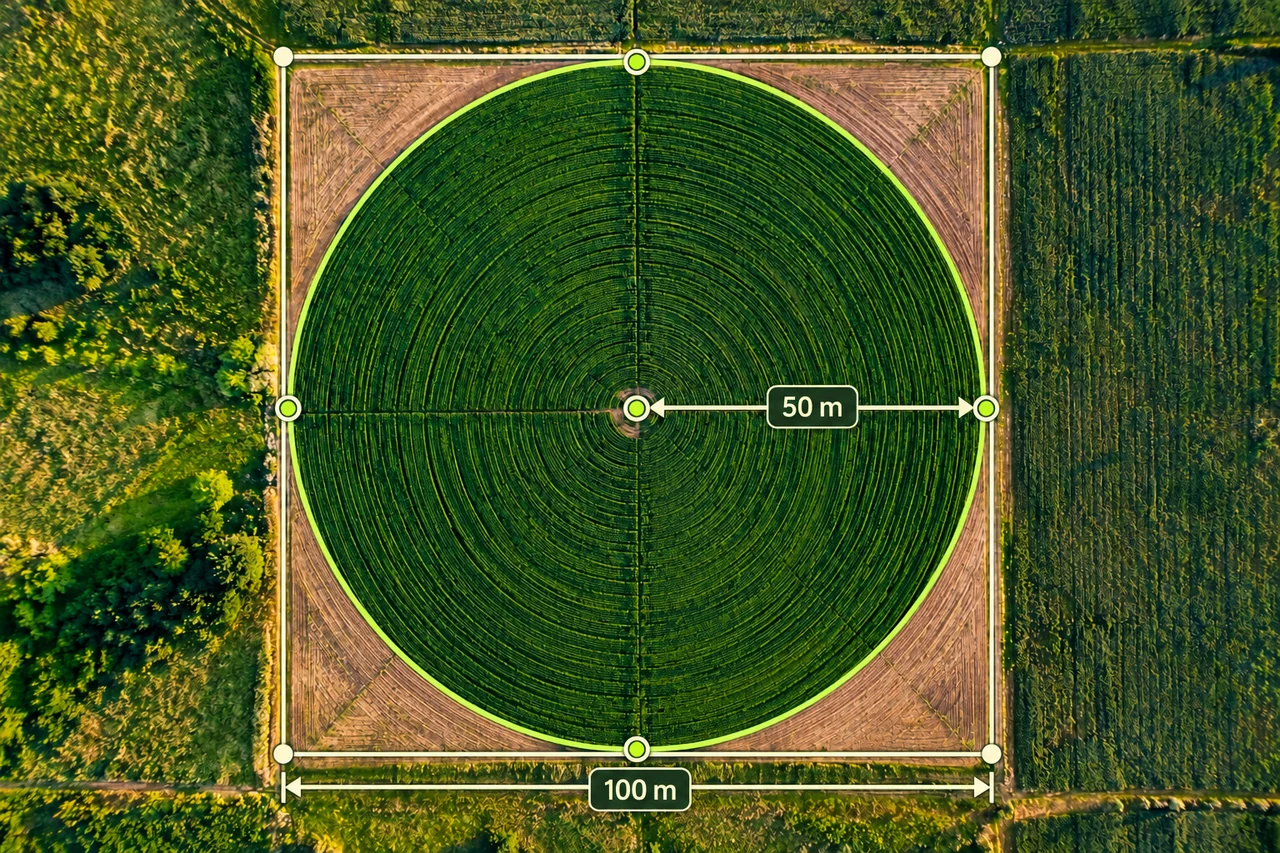
Land shapes and geometry
Compare a 50 m radius circle with a 100 × 100 m field, calculate uncovered corners, and separate geometric coverage from equipment performance.
Read the guide →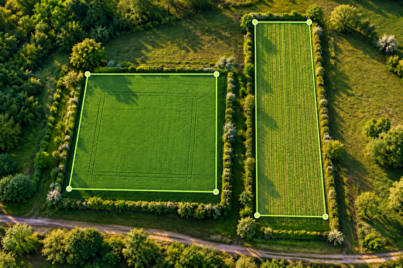
Land shapes and geometry
Understand the missing dimensions behind area-to-length questions, with rectangles that share a perimeter or area but have different shapes.
Read the guide →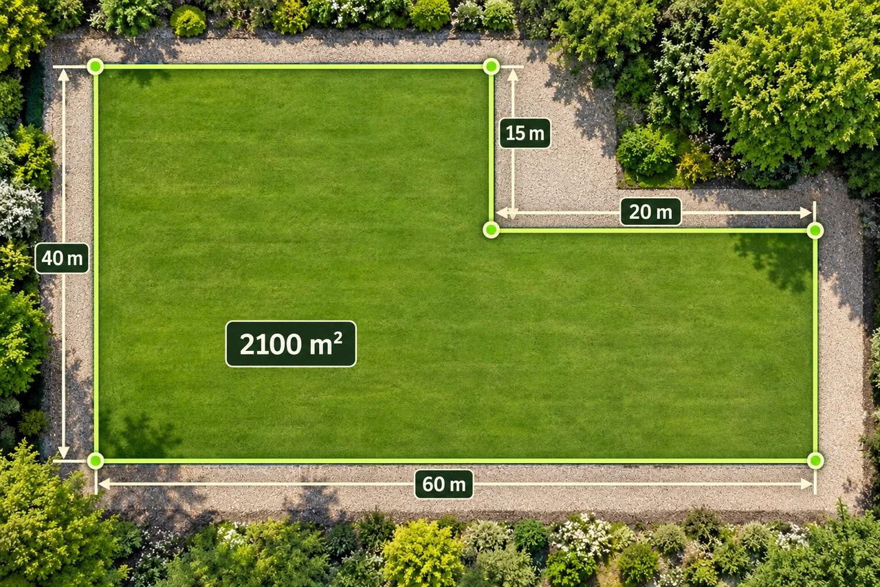
Land shapes and geometry
Find a concave plot's area by subtracting a missing corner or adding rectangles, then check every boundary segment.
Read the guide →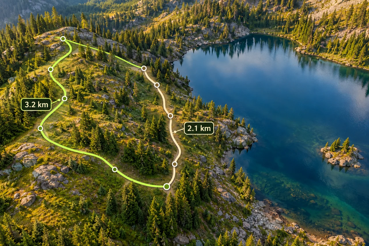
Routes and fieldwork
Trace bends, distinguish a walking path from a straight line, and compare an out-and-back with a loop using a worked distance example.
Read the guide →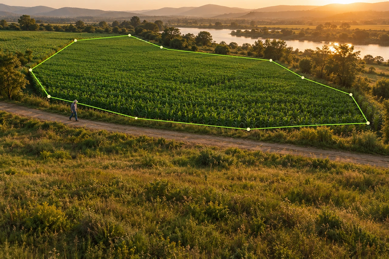
Routes and fieldwork
Select an area layer, record the boundary on foot, save your project and review the GPS outline. A practical Land Ruler field workflow.
Read the guide →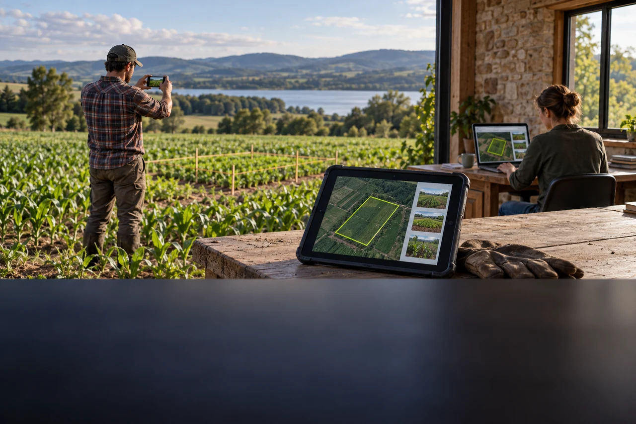
Routes and fieldwork
Set up a team workspace, choose member roles and hand a measured project from the field to the office with photos and text notes.
Read the guide →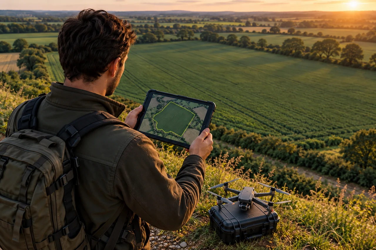
Routes and fieldwork
Outline a field or corridor, review the measured work scope and export a KML reference for the receiving planning software to check.
Read the guide →