
Measurement guide
Drone preparation
Prepare a measured work boundary for a drone mapping job
Prepare a ground-area reference for a drone mapping job by sketching the intended boundary, checking the estimated area, and exporting a KML file for a separate target-software review. The app helps describe the site; it does not create or authorize a flight.
Land Ruler ·
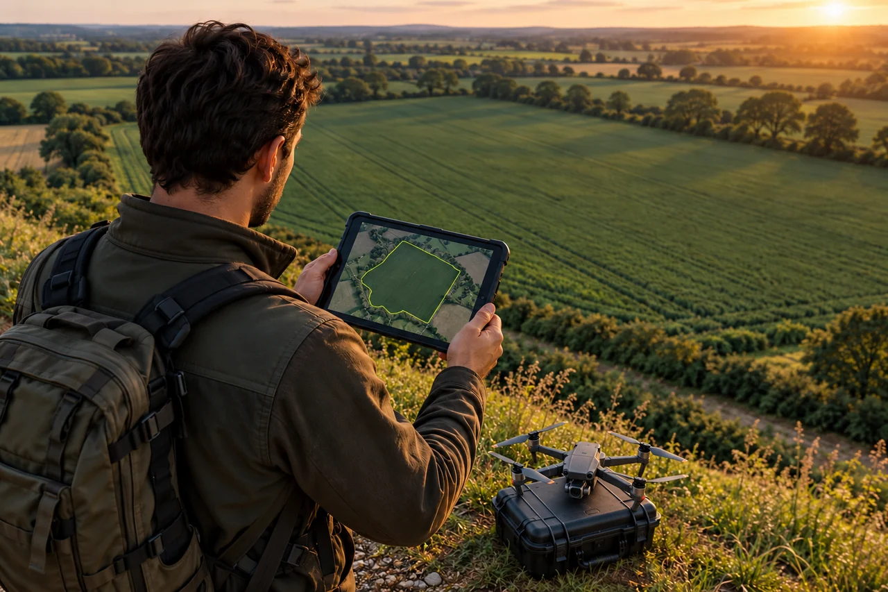
Define the ground area for the job
Start with the ground footprint your mapping team wants to document. On the map, draw a polygon around recognizable features such as a field edge, road boundary, or site perimeter. Add vertices where the shape changes direction, and inspect the outline at a useful zoom level so it follows the intended land rather than a nearby road or hedge.
For a corridor, measure the route as a line when the deliverable is a linear reference; use a polygon only when you need the corridor's ground footprint. A manually drawn extent is a planning reference, not a flight route, capture pattern, altitude plan, or flight-permission check.
Review and export KML
Check that the outline closes around the intended site and that the area and perimeter make sense for the job. If a property edge is hidden, mark it as uncertain in your notes instead of implying the image proves it. Save the project with a recognizable site name so the KML can be traced back to its source.
Use the app's KML export for the boundary file, then transfer the exported file to the target planning or mapping software using that software's supported import workflow. Programs may interpret coordinates, polygon order, altitude, or metadata differently. Open the imported geometry and verify its location and shape before using it operationally.
- Land Ruler exports KML, GPX, and CSV; this workflow uses KML for the polygon boundary.
- Do not relabel KML as GeoJSON or KMZ. Convert only with a verified tool and inspect the result.
- Keep the saved project as the editable source for future boundary changes.
Example and troubleshooting
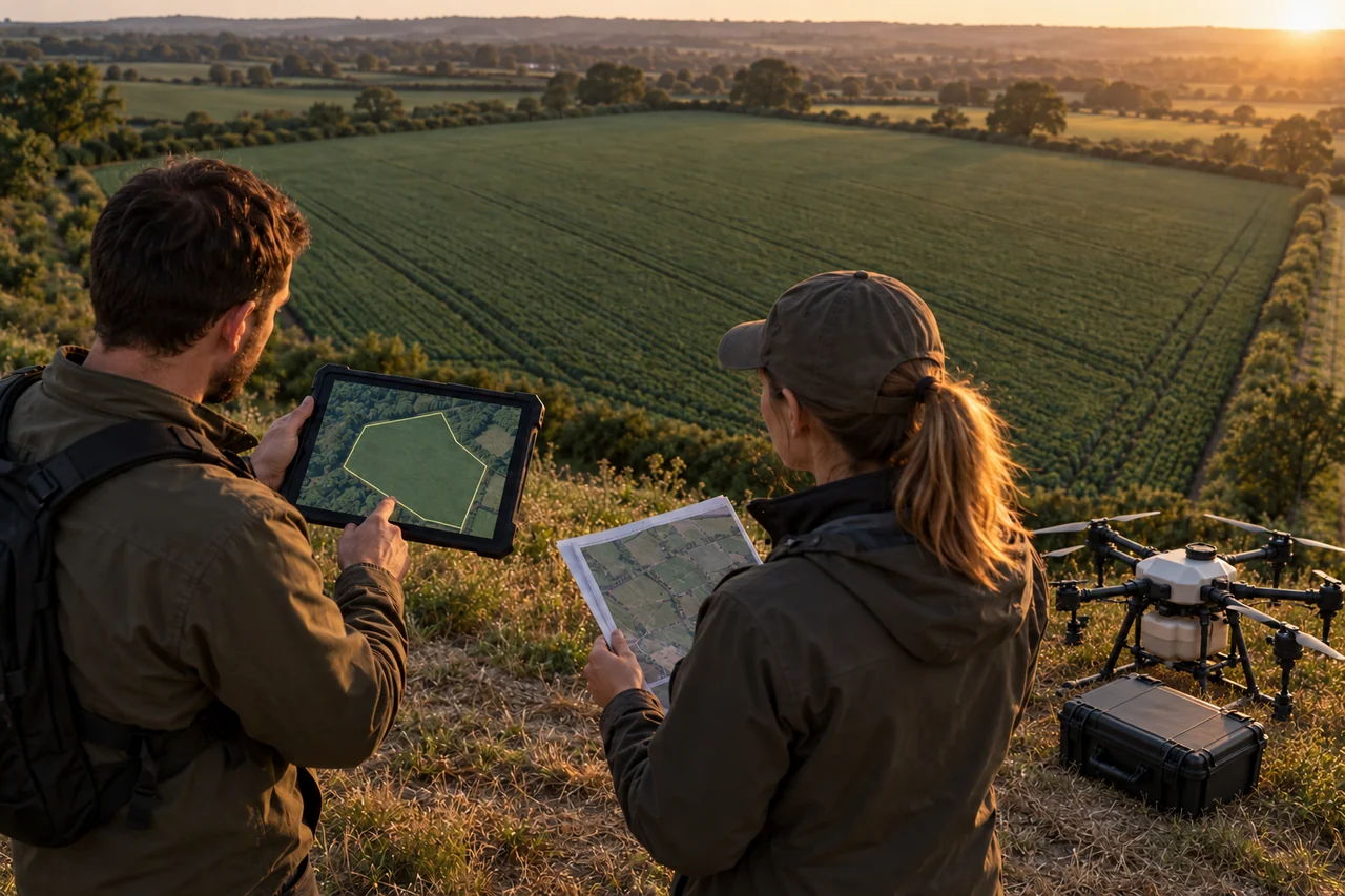
Illustrative example: a mapping crew plans to document a 0.6 km² orchard block. A coordinator traces the visible outer edge, notes a tree-covered section that needs a site check, exports KML, and opens it in the team's target planner. The crew checks that the polygon overlays the correct block before preparing any separate flight workflow.
If the file opens in the wrong place, check the target software's import settings and coordinate display, then compare the shape with the saved project. If the outline is clipped or incomplete, return to the project and correct the polygon before exporting again. DroneDeploy's documentation describes desktop import of KML and GeoJSON references for flight planning; that does not establish tested end-to-end compatibility for every Land Ruler KML file.
Keep multiple sites easy to inspect
Use a separate named project for each site or clearly separated work area. Add project or layer notes about which boundary version was exported and which edge still needs confirmation. This keeps office review grounded in shared map geometry and field context.
If the target software requires a different format, verify an explicit conversion path and inspect the converted geometry. Land Ruler's available exchange formats include KML, GPX, and CSV; this guide does not assume GeoJSON or KMZ export. Treat each file as a reference until the receiving system confirms its interpretation.
Apply it to your work
- Size a survey area before a drone mapping job — Sketch the ground area a mapping team intends to cover.
- Share a field boundary with an agricultural drone operator — Prepare a simple field outline as a portable boundary file for a separate planning tool.
- Measure a corridor before an aerial survey — Estimate the length of a road, utility line or other linear survey corridor.
- Keep survey areas and field notes in one project — Organize measured areas, reference points, notes and photos before a mapping visit.
- Prepare separate site projects for an office-to-field handoff — Keep measurements for several survey locations organized for review and file handoff.
Common questions
Does KML export generate the drone flight route?
No. It exports a ground geometry reference. Build and review any flight plan separately in the target system.
Can I export GeoJSON or KMZ from Land Ruler?
The confirmed export formats for this guide are KML, GPX, and CSV. GeoJSON and KMZ export are not claimed.
Will a KML work in every planning application?
Not automatically. Import it in the target software and verify the polygon's position and shape there.
What is the difference between a corridor line and area?
A line represents a route or linear reference; a polygon represents the ground footprint enclosed by its boundary.
Sources
- Import Flight Path KML and GeoJSON File for Flight Planning
Official DroneDeploy documentation on desktop import of KML/GeoJSON references; does not prove Land Ruler end-to-end compatibility.