Measurement guide
Accuracy and coordinates
How accurate is phone GPS for measuring land area?
A location dot, a satellite image and a polygon drawn around a field answer different questions. Understanding where their uncertainties enter makes a map area estimate more useful for planning.
Land Ruler · · 4 min read
Separate three sources of uncertainty
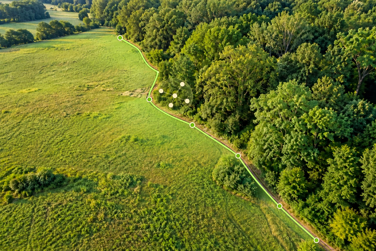
Start with the measurement you actually made. If you place corners on a map, the result depends on those corner coordinates and the boundary you interpreted. Your phone may help you find the neighborhood, but its live position does not automatically determine every vertex. If you record positions while moving, receiver behavior matters directly. Mixing these two workflows leads to misleading explanations of an unexpected area.
Keep three layers in your notes: positioning, background imagery and boundary interpretation. A point can appear displaced because the receiver estimate moved, because an image feature is misplaced, or because you selected a different physical feature. A useful diagnosis identifies the layer before changing the drawing.
What an open-sky GPS figure means
GPS.gov gives roughly 4.9 metres as a typical smartphone positioning radius under open sky and notes poorer results around obstructions. This describes location, not square metres. It is neither a guarantee for your phone nor a percentage tolerance for a field.
A general position figure cannot be converted into one universal area error. The shape, size and relationship between corner errors matter. Moving every corner together preserves a shape’s area; moving corners inward changes it. A narrow strip can therefore be much more sensitive to boundary placement than a broad parcel with the same area.
Inspect the calculation diagram
A clear image does not identify the boundary
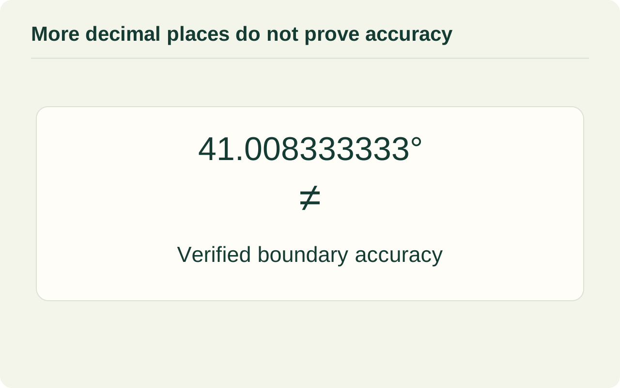
Choose the feature you mean before tracing: fence line, cultivated edge, tree canopy or an intended working area. These are not interchangeable. A shadow can hide the fence base, and a canopy can extend beyond the ground you want to include. More zoom makes selection easier only while useful detail remains.
Image resolution and positional accuracy are separate properties, as the USGS orthoimagery specification makes clear by assessing them separately. Do not infer a surveyed corner from a sharp-looking pixel. When the edge is hidden, document the assumption instead of drawing a confident-looking line through the uncertainty.
Read decimal places responsibly
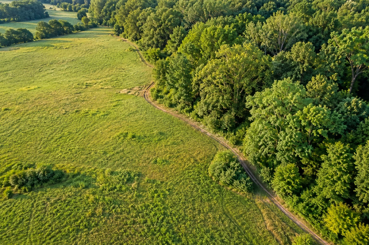
A calculator can display many digits after arithmetic even when the input points are uncertain. Those digits describe the calculation’s formatting, not proof of centimetre-level boundary knowledge. Preserve the original result if needed, but communicate the estimate with rounding appropriate to its purpose.
NIST distinguishes agreement with a reference from agreement between repeated measurements. Drawing the same interpretation several times can reveal placement sensitivity; it cannot prove that the chosen interpretation is correct. Check against independent boundary information rather than treating a small spread as a certificate.
| Observation | Useful interpretation | What remains unresolved |
|---|---|---|
| Many displayed decimals | Detailed numeric output | Input boundary accuracy |
| Similar redraw totals | Low variation in this exercise | Agreement with an independent reference |
| Sharp imagery | Visible detail | Image alignment and boundary meaning |
A practical review before using the estimate
Use the area tool to review each corner at a consistent zoom. Revisit unclear bends and remove accidental detours. Start a second drawing independently instead of carefully copying the first. Compare both the outline and result; a matching total can hide different shapes.
Record the date, intended boundary, units and any obscured edges. If your plan changes greatly when an uncertain edge moves slightly, keep that sensitivity visible in the decision. A map estimate is useful for comparing options, while decisions requiring an established boundary need suitable boundary evidence.
Common questions
Does more decimal precision mean better GPS accuracy?
No. Extra displayed digits can come from calculation or formatting without improving the underlying position or boundary.
Can I attach one accuracy percentage to every field?
No. Corner placement, parcel geometry and evidence quality differ. A device’s location figure does not establish a universal area tolerance.
Should I redraw until two totals match?
Use an independent redraw to investigate differences. Adjusting points only to reach a preferred total conceals the question you need to resolve.
Sources and calculation notes
Figures and numerical scenarios are explanatory examples, not observed field results or application screenshots. Sources support the concepts listed below.
- GPS.gov: GPS Accuracy
Typical open-sky smartphone position figure and the distinction between receiver and signal performance.
- NIST TN 1297: Terminology
Distinction between measurement accuracy and repeatability.
- USGS: Digital Orthoimagery Base Specification
Separate treatment of image resolution and horizontal accuracy.
Continue learning
Accuracy and coordinates
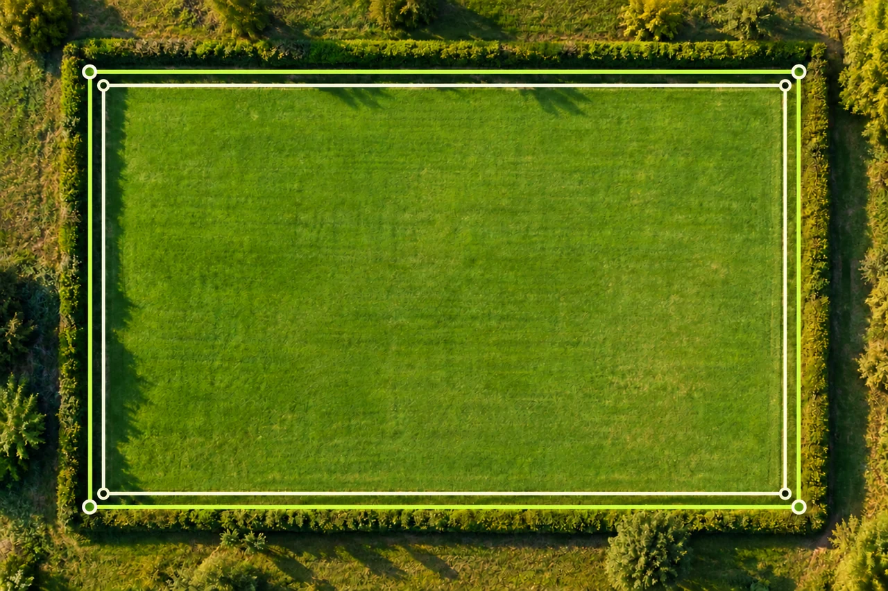
Why do two map area measurements give different results?
Troubleshoot different land area results by comparing boundaries, units, imagery and point placement. Follow a worked 5,000 vs 4,704 m² example.
Read the guide →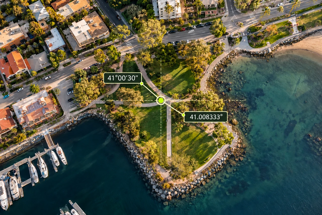
Accuracy and coordinates
How to read latitude and longitude: decimal degrees and DMS
Read coordinate labels, convert degrees minutes seconds to decimal degrees, and check order, hemisphere and datum before locating land on a map.
Read the guide →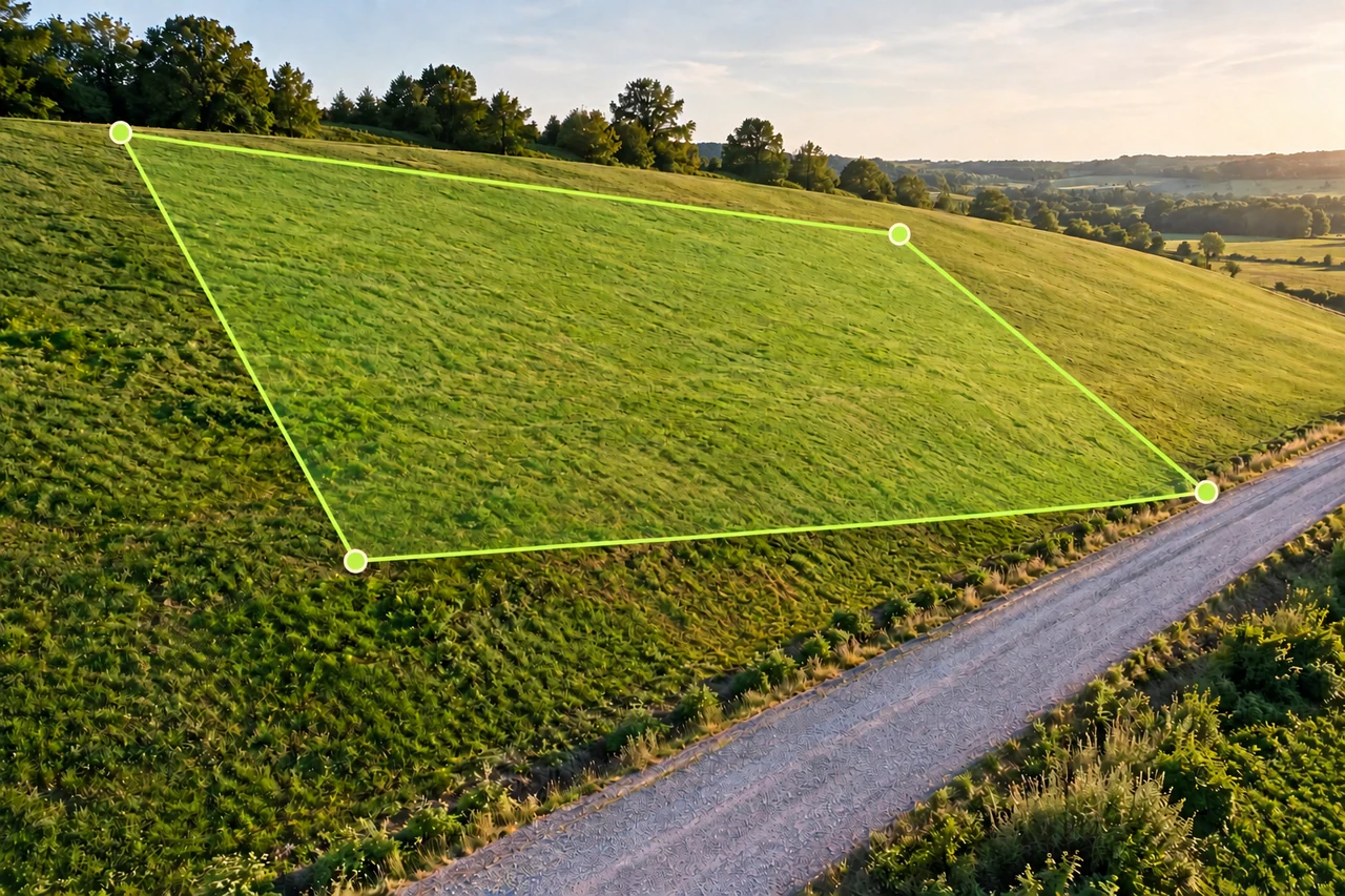
Accuracy and coordinates
Horizontal land area vs sloped surface area: a worked example
Learn why map area and hillside surface area differ, calculate a uniform 20° slope example, and avoid applying average slope to irregular terrain.
Read the guide →