Measurement guide
Planning and quantities
Calculate usable land area without subtracting twice
A parcel's full area rarely answers a specific planning question. You may want the area available for mowing, planting or laying a surface, each with different exclusions. Start by naming the activity. A simple worksheet is useful only when every subtraction has a clear reason and every square metre is counted once.
Land Ruler · · 4 min read
Define what usable means for this job
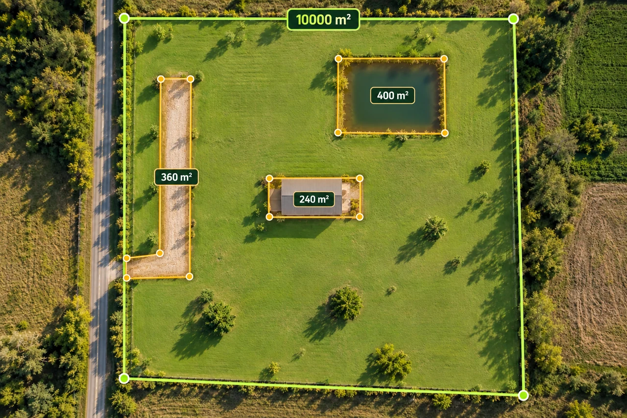
A paved driveway is unavailable for planting but may be essential usable space for access. A pond might be excluded from a mowing estimate yet remain part of the property's intended use. Write a one-sentence definition such as 'ground receiving grass seed, excluding buildings, paved access and open water.' Keep that definition beside the result so someone reading the number later does not mistake a task-specific remainder for a universal property characteristic.
Make a gross-to-net worksheet
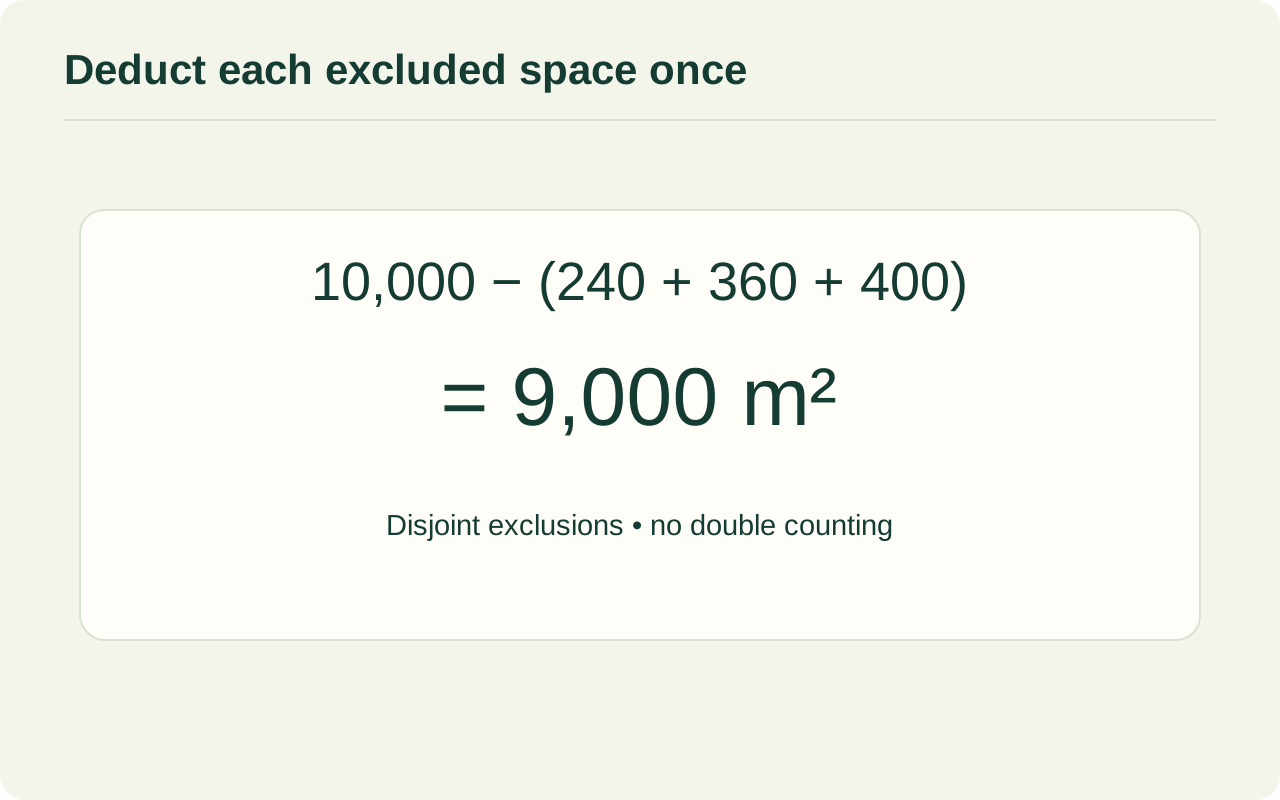
Measure the outer parcel first, then measure each exclusion as its own shape using the same horizontal area basis and square-metre units. In this example, the exclusions are entirely inside the parcel and do not overlap. Their sum is 1,000 m², leaving 9,000 m², or 0.9 ha. Record the individual measurements rather than keeping only the answer; a changed driveway can then be updated without reconstructing the entire estimate.
| Item | Area | Treatment |
|---|---|---|
| Whole parcel | 10,000 m² | Start |
| Building | 240 m² | Subtract |
| Driveway | 360 m² | Subtract |
| Pond | 400 m² | Subtract |
| Planning remainder | 9,000 m² | Result |
Inspect the calculation diagram
Count overlapping exclusions only once
Suppose two excluded shapes measure 300 m² and 200 m², with a shared 50 m² patch. Their combined footprint is 300 + 200 − 50 = 450 m², not 500 m². Subtracting both full shapes would remove the shared patch twice and understate the remainder by 50 m². Draw the shared patch explicitly or divide the exclusions into non-overlapping pieces. With several intersections, a single combined outline or a careful partition is easier to audit.
Clip exclusions to the measured parcel
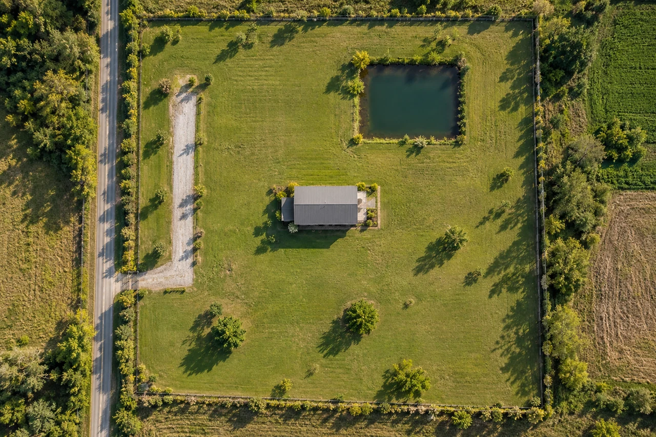
An exclusion crossing the parcel boundary should contribute only the portion inside it. A road drawn across several neighbouring plots cannot be deducted in full from one plot. Likewise, a canopy visible above ground may not match the ground footprint needed for your task. Mark uncertain edges and explain the chosen outline. The table should distinguish measured areas from rough estimates, particularly when vegetation or shadows obscure the feature on the map.
Keep planning area separate from permission
Calling the result '9,000 m² available for this planting estimate' makes its meaning explicit. Calling it '9,000 m² buildable' adds a conclusion the subtraction cannot support. Access requirements, ownership boundaries and development permissions need their own authoritative information. A visible feature also does not prove a cadastral boundary. If your decision concerns construction or a boundary dispute, have the relevant records and site conditions checked rather than extending this arithmetic into a legal determination.
Check whether the remainder works as one space
A correct net total can still hide an awkward layout. A driveway through the middle may leave two separate planting areas; a narrow strip behind a building may count in square metres without fitting your intended layout. Sketch the remaining pieces and label how each will be reached. If the task requires one continuous bed, a particular width or equipment access, check those conditions on each piece before treating the whole remainder as suitable. Keep the area calculation and this layout check as separate entries so a failed layout does not lead you to alter correct arithmetic.
Keep a measurement record you can revise
Use LandRuler's area measurement for the outer outline and make separate measurements for the excluded features. Note names and results in a worksheet, then perform the subtraction explicitly. Revisit a doubtful edge before estimating materials from the remainder. If the result seems unexpectedly small, check for duplicate exclusions and mismatched units before changing the outline. Save the purpose, measurement date and unresolved assumptions alongside the total so another person can reproduce your planning calculation.
Try your own numbers
This calculation uses the geometric assumptions explained in the article.
Common questions
Can I subtract every visible feature?
Subtract only features excluded by your stated task, and only their footprint inside the parcel. A path can be useful space even when it is excluded from planting.
What if I cannot measure an overlap reliably?
Mark the result as provisional and resolve that geometry before relying on a precise net total. Extra decimal places cannot repair an uncertain outline.
Sources and calculation notes
Figures and numerical scenarios are explanatory examples, not observed field results or application screenshots. Sources support the concepts listed below.
- NIST: SI units — area
Supports square metres and hectares as area units. The exclusion worksheet and overlap examples are original geometric calculations, not official parcel determinations.
Continue learning
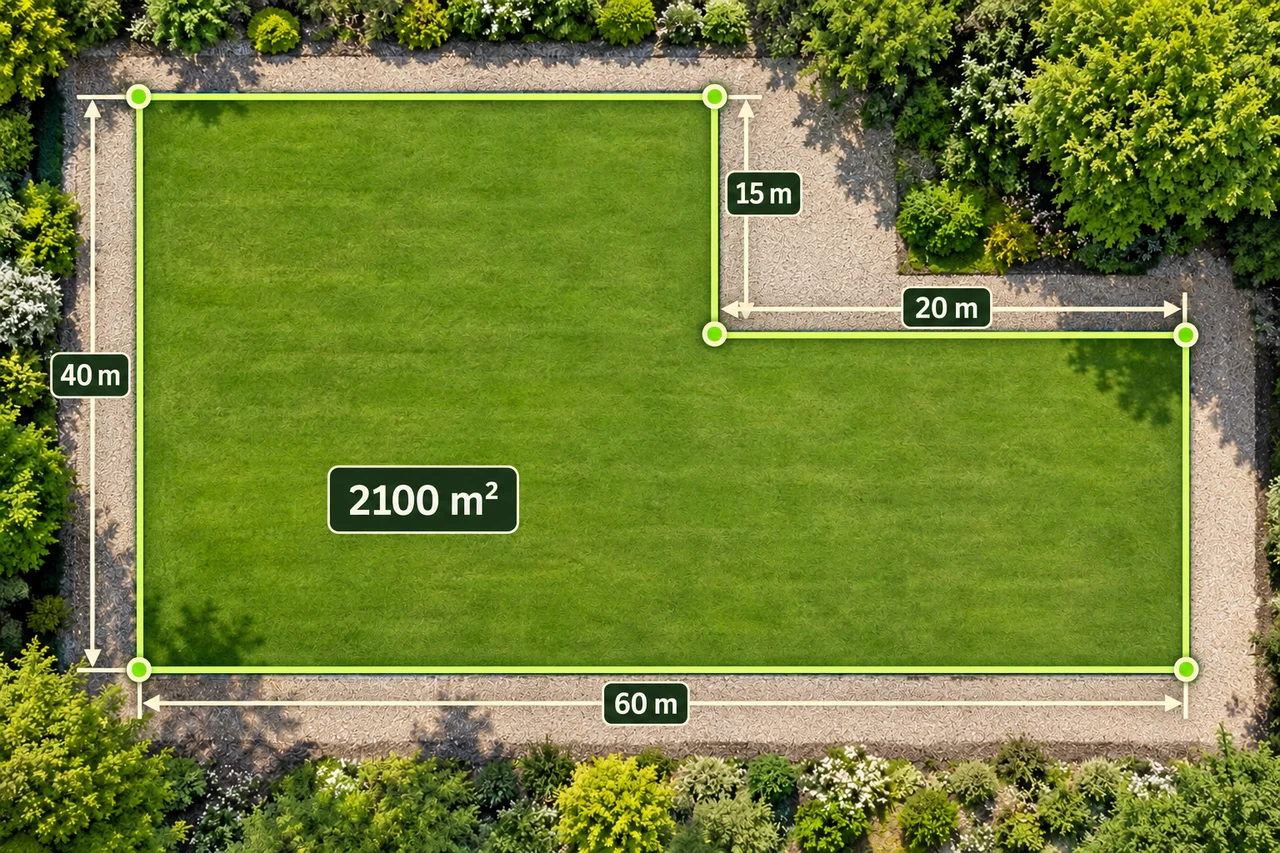
Land shapes and geometry
Calculate L-shaped land area in two ways
Find a concave plot's area by subtracting a missing corner or adding rectangles, then check every boundary segment.
Read the guide →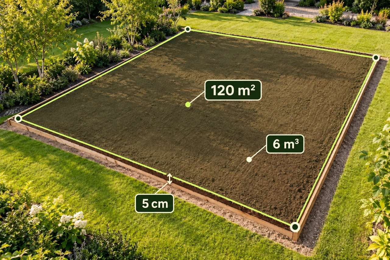
Planning and quantities
Calculate soil volume from area and layer depth
Convert centimetres to metres and calculate a 120 m² layer at 5 cm depth, with practical checks before ordering soil.
Read the guide →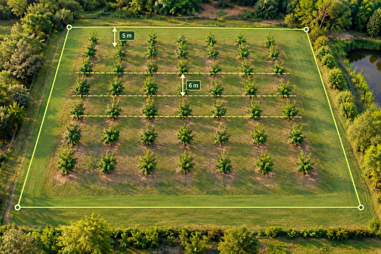
Planning and quantities
Count orchard planting positions with an explicit grid
Work through a 100 × 60 m plot, 5 m margins and 6 m spacing to see why a grid count differs from area divided by spacing.
Read the guide →