Measurement guide
GPS fieldwork
Measure a field area by walking its boundary with GPS
Walk an accessible boundary to collect a GPS-based area estimate, then review the saved shape before using it for planning. Choose the right layer and keep the recording screen open.
Land Ruler ·
Prepare the area layer
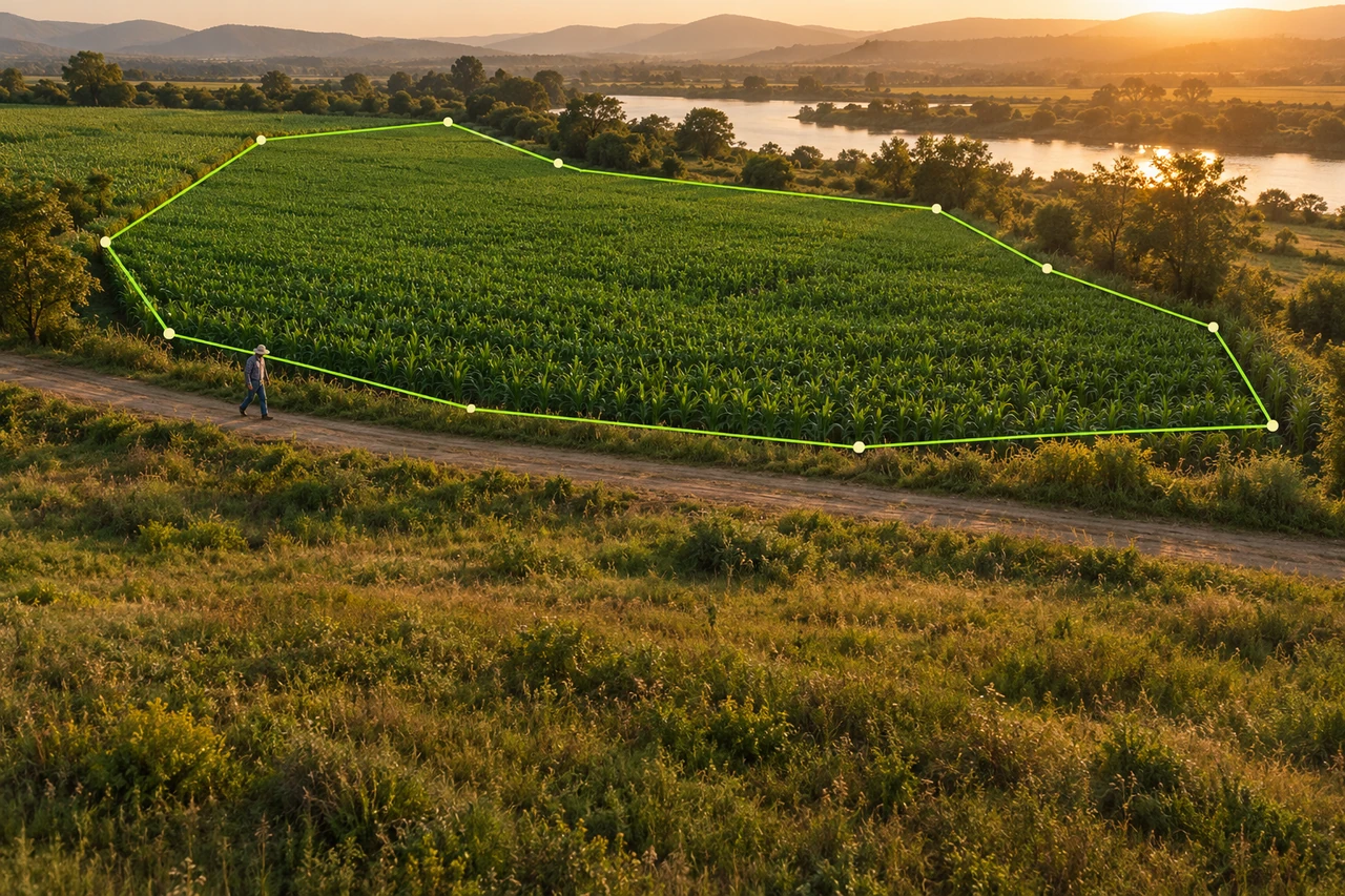
Open the project where the result belongs and select or create a polygon area layer before starting GPS. This choice tells the app to calculate a walked boundary as an area. A line layer is for a route or distance and will not represent the enclosed parcel area.
Choose a boundary you can actually follow on foot and identify the feature you will trace: a fence line, field edge, or other visible boundary. If a section is unsafe, inaccessible, or hidden, do not guess it as if it were observed. Plan to record the known portions and explain the uncertain edge in a note.
Walk and record the boundary
Start GPS recording from the selected area layer and keep the recording screen open as you move around the boundary. Walk at a practical pace and avoid abrupt zigzags that do not follow the edge. Keep the phone positioned consistently; tall structures, dense tree cover, and poor sky visibility can make position estimates less stable.
Follow the boundary in order and return near your starting point so the path encloses the intended land. If you must stop, use the visible pause or stop controls and check the resulting track before continuing. Do not rely on background recording or assume the app will keep recording after leaving its screen.
Stop, save, and review
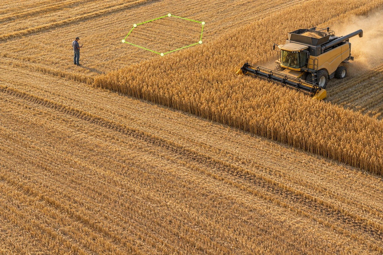
When the walk is complete, stop the recording and save the result in the project. Inspect the polygon on the map: look for a missing closing segment, a spike caused by a wandering position estimate, or a corner that cuts across a field instead of following the boundary. Compare the shape with visible imagery and what you observed on site.
Use the saved area as a practical estimate, not a survey certificate. The GPS path length follows sampled positions along your walk. Record it separately from the area: it should not be treated as the closed parcel perimeter.
Example and troubleshooting
Illustrative example: a worker walks the edge of a roughly rectangular paddock and saves an area estimate of 1.8 hectares. Before sharing it, they notice the north edge was screened by trees and the recorded trace bows inward. They add a note that this edge needs a daylight site check rather than quietly treating the number as exact.
If the trace looks jumpy, pause in a safe open spot and allow the location estimate to settle before continuing. If it crosses a feature you did not walk, review the sampled route and the selected layer, then decide whether a repeat walk or manual correction is appropriate. Keep the original field observation distinct from any later edit.
- Unexpected corners: compare the saved outline with the physical edge you followed.
- Area differs from expectation: confirm that an area layer was selected before recording.
- The track seems incomplete: check whether recording was stopped and saved while the screen was open.
Apply it to your work
- Walk a field boundary and record its area — Capture a field outline from the phone location stream and calculate the polygon area.
- Record a harvested block by walking its edge — Save a preliminary polygon for an accessible harvested block without implying machine telemetry.
- Record a route walked during inspection — Measure and preserve a walked path as a distance line for maintenance or site inspection.
- Compare a mapped outline with a field GPS walk — Keep a manually mapped boundary and a later GPS trace in separate layers for visual review.
- Review and correct an obvious GPS trace deviation — Inspect recorded vertices after collection and make a deliberate geometry edit where justified.
- Pause a GPS walk and resume at a later section — Separate intentional stops from the active GPS walk by pausing and resuming the recording.
Common questions
Should I choose a line or area layer?
Choose a polygon area layer when you need the enclosed area. Choose a line layer when the result is a route or distance.
Does the walked GPS length give the parcel perimeter?
Not necessarily. It is the length of sampled positions along the walk; the closed perimeter is measured from the saved polygon boundary.
Can I leave the recording screen open in the background?
Keep the recording screen open while walking. Do not depend on background recording for this workflow.
Is this suitable as a legal survey?
It provides a planning estimate from a phone GPS walk. Use an appropriately qualified survey for legal boundary decisions.
Sources
- GPS Accuracy
General context on position accuracy and factors that influence GPS estimates; not an app-specific performance claim.