Measurement guide
Accuracy and coordinates
How to read latitude and longitude: decimal degrees and DMS
A coordinate pair is useful only when its format and labels are understood. Two correctly typed numbers can still locate the wrong place if their order, signs or reference system are misunderstood.
Land Ruler · · 4 min read
Read labels before numbers
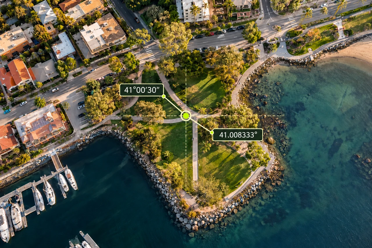
Latitude identifies position north or south of the equator; longitude identifies position east or west of the prime meridian. Valid latitude spans −90° to +90°, while longitude commonly spans −180° to +180°. A number outside the relevant range is an immediate warning. A number inside the range still needs the correct label.
Do not assume every document or system uses the same order. Some present latitude first; others label coordinates as longitude and latitude, or x and y. Copy the labels with the values. When both numbers fit either range, swapping them may produce an apparently valid location far from the land you intended to inspect.
Recognize decimal degrees and DMS
Decimal degrees, often abbreviated DD, place the fractional part after a decimal separator. DMS means degrees, minutes and seconds, identified by °, ′ and ″. These minutes and seconds are angular subdivisions, not travel time. The digits after the degree symbol cannot simply be pasted after a decimal point.
Keep the coordinate pair’s separator distinct from the decimal separator. A comma can separate latitude from longitude in one interface and mark a decimal fraction in another writing convention. Read the receiving system’s instructions before entering anything. This guide explains the notation; it does not claim that every coordinate spelling is accepted by Land Ruler’s search.
Inspect the calculation diagram
Convert one labelled example
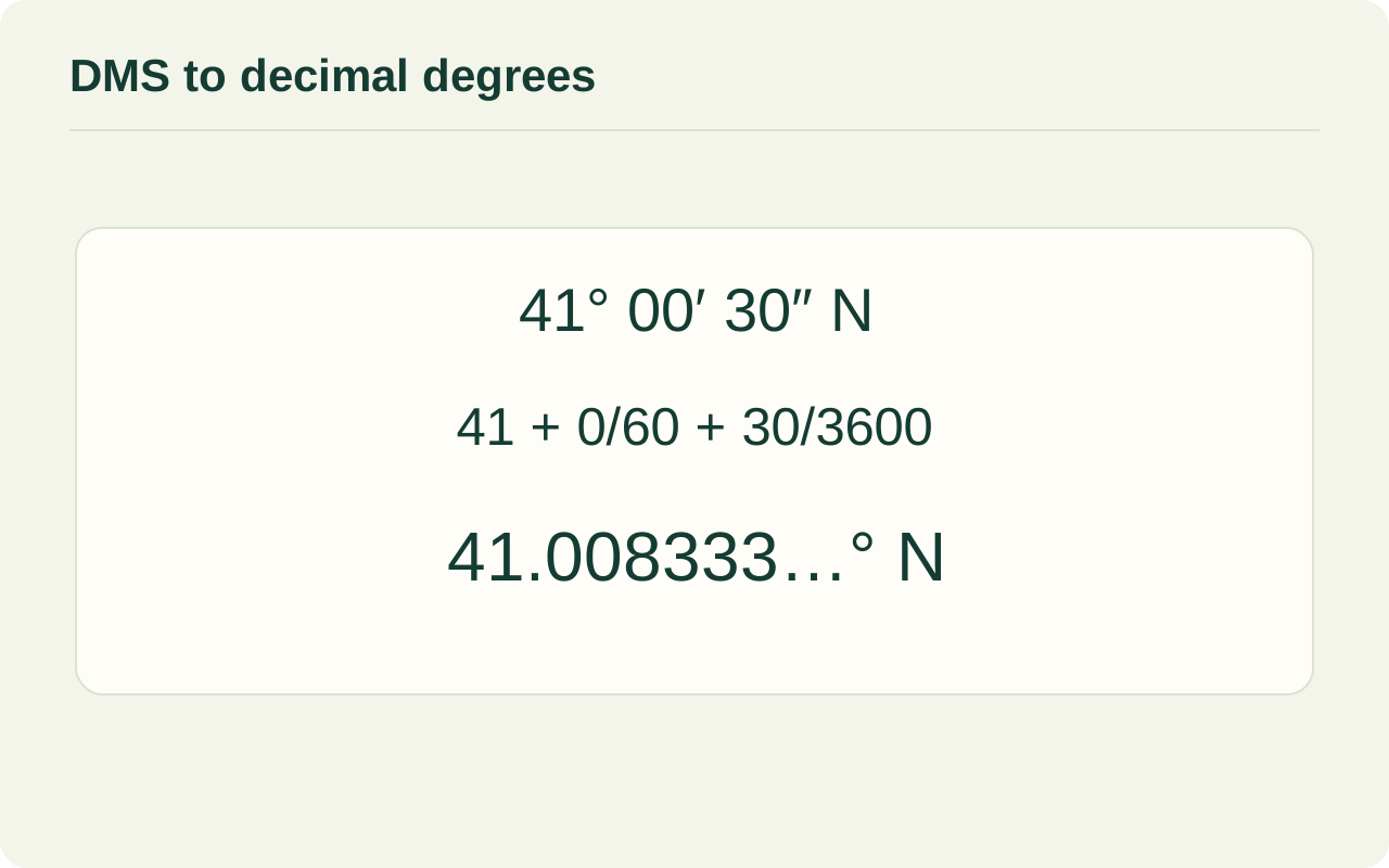
For a positive hemisphere value, use decimal degrees = degrees + minutes ÷ 60 + seconds ÷ 3,600. Consider latitude 41°00′30″ N and longitude 28°58′30″ E. The latitude becomes 41 + 0 ÷ 60 + 30 ÷ 3,600 = 41.008333…°. The longitude becomes 28 + 58 ÷ 60 + 30 ÷ 3,600 = 28.975°.
Both are positive because the labels are north and east. Retain the labels while checking the arithmetic, then use the notation requested by your chosen map service. The conversion changes how the same angle is written. It does not move the point, add measurement detail or transform its datum.
| Label | DMS | Decimal degrees |
|---|---|---|
| Latitude | 41°00′30″ N | 41.008333…° |
| Longitude | 28°58′30″ E | 28.975° |

Check hemispheres, signs and carries
In signed decimal notation, south and west are negative. Apply the sign to the entire converted magnitude, not just the whole-degree part. Avoid ambiguous combinations of a minus sign with a hemisphere letter unless the receiving system explicitly explains them. N and E correspond to north and east; S and W correspond to south and west.
In a normalized DMS value, minutes and seconds are each at least zero and less than 60. If rounding seconds produces 60, carry one minute; if minutes then reach 60, carry one degree. Check that no fractional degrees have accidentally been treated as decimal minutes. Correct-looking symbols cannot rescue mixed units.
Keep the datum with the coordinate
A datum or reference frame supplies the underlying reference for coordinates. Converting DMS to DD is a notation conversion; moving between datums is a separate geospatial operation. If a source document names a datum, preserve it. If it gives metre-based grid coordinates instead of angles, identify that coordinate system before interpreting the numbers as latitude and longitude.
For a practical check, locate the labelled point in an external map service whose input instructions you understand, then compare recognizable surroundings. Once you have the correct place, use the distance tool for the actual line or route you intend to estimate. A single point locates a place; it does not define a parcel’s complete boundary.
Check the conversion in the opposite direction
Use the longitude from the example for a quick arithmetic check. Starting with 28.975°, keep 28° and multiply the remaining 0.975 by 60: 58.5 minutes. Keep 58′ and multiply the remaining 0.5 by 60: 30″. You recover 28°58′30″ E, provided the east label was retained. Do the same for the latitude using its unrounded value. Small differences can appear after rounding, so compare at the precision of the original notation. This checks the notation conversion only; an incorrectly labelled or incorrectly sourced coordinate can still pass the arithmetic check.
Common questions
Does changing DMS to decimal degrees improve accuracy?
No. It changes notation. Extra decimal digits created by the conversion do not add information to the original observation.
Can both swapped numbers still be valid?
Yes. Both can fall inside the allowed ranges. Check labels and surroundings rather than relying on range checks alone.
Can I infer an area from one coordinate pair?
No. One pair identifies a point. An area estimate requires a boundary defined by multiple points or other suitable geometric information.
Sources and calculation notes
Figures and numerical scenarios are explanatory examples, not observed field results or application screenshots. Sources support the concepts listed below.
- USGS: GNIS coordinate conversion guidance
Degrees, minutes and seconds versus decimal degrees and the conversion procedure.
- USGS: Point location coordinate documentation
Explicit latitude and longitude labels, hemisphere signs and degree ranges.
- NOAA NGS: Datums and Reference Frames
A geodetic datum or reference frame provides a reference system for positions.
Continue learning
Accuracy and coordinates
How accurate is phone GPS for measuring land area?
Separate phone GPS position, imagery alignment and boundary tracing when estimating land area. Understand uncertainty without misleading accuracy guarantees.
Read the guide →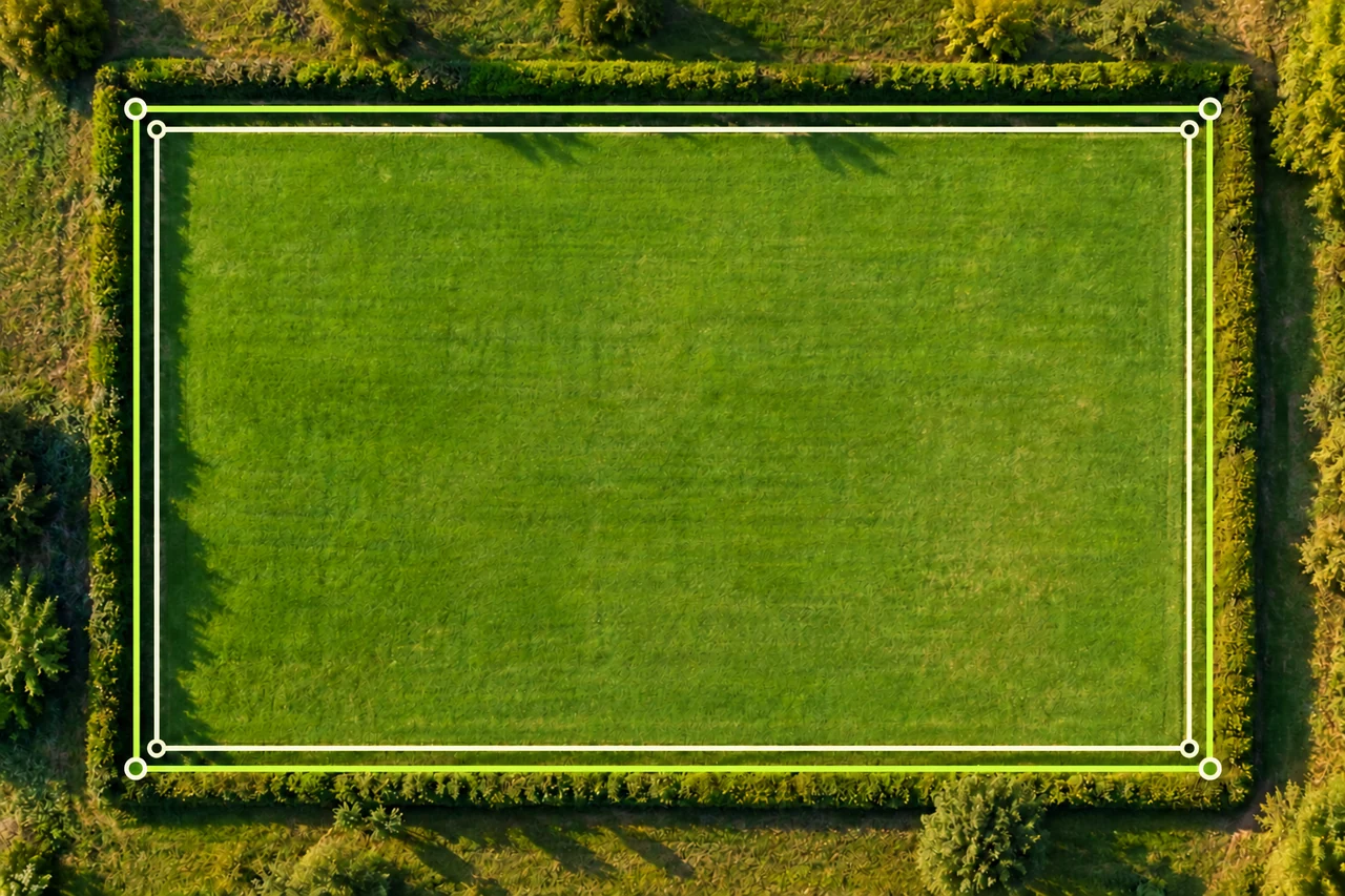
Accuracy and coordinates
Why do two map area measurements give different results?
Troubleshoot different land area results by comparing boundaries, units, imagery and point placement. Follow a worked 5,000 vs 4,704 m² example.
Read the guide →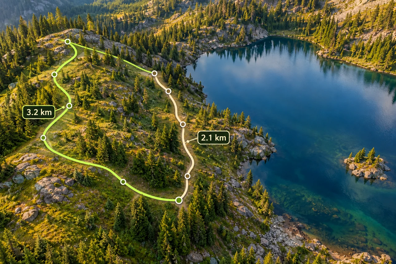
Routes and fieldwork
Measure a hiking route, including the way back
Trace bends, distinguish a walking path from a straight line, and compare an out-and-back with a loop using a worked distance example.
Read the guide →