Measurement guide
Land shapes and geometry
Calculate L-shaped land area in two ways
An L-shaped boundary can be easier to understand as two rectangles or as one large rectangle with a corner removed. Solving the same example both ways gives a useful check on the dimensions and the arithmetic.
Land Ruler · · 5 min read
Define the six-corner outline
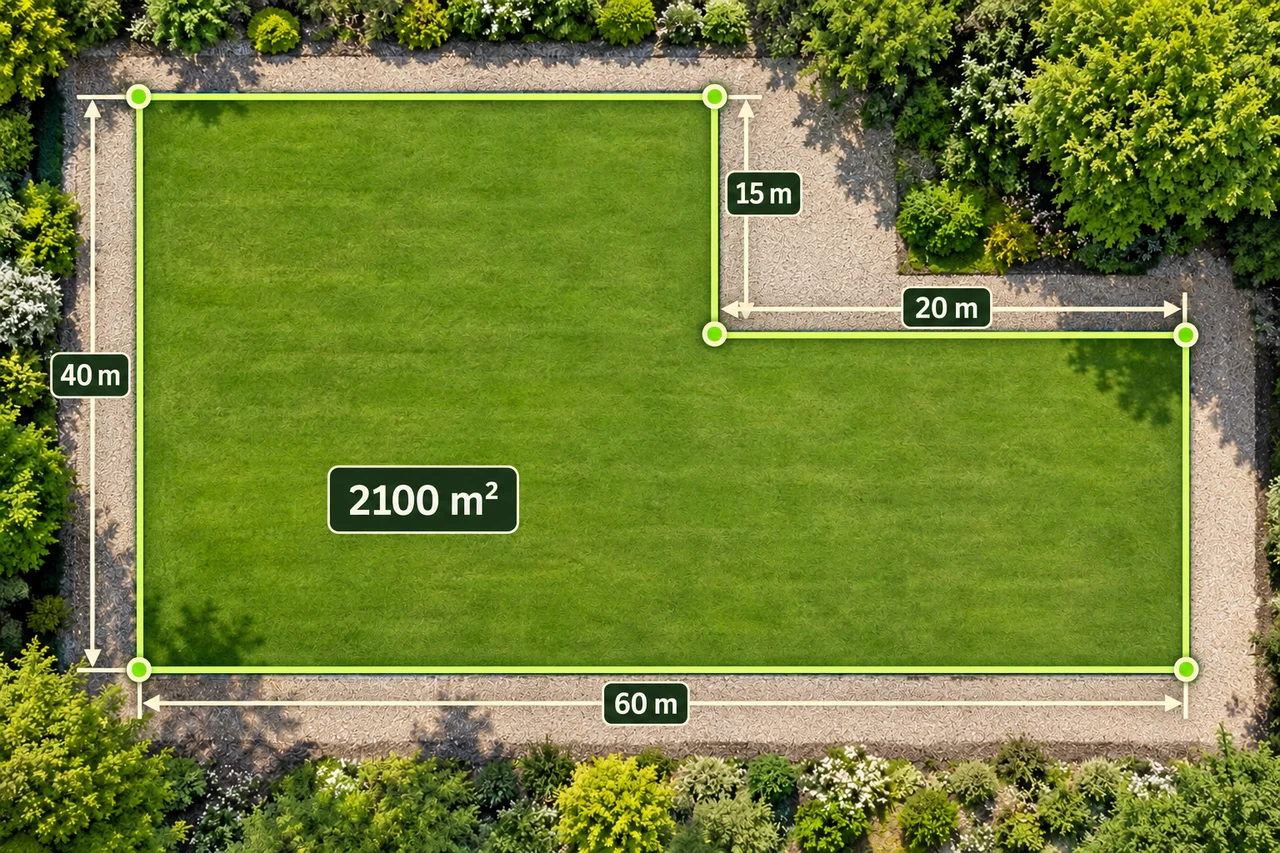
Use metres and place the vertices at (0,0), (60,0), (60,25), (40,25), (40,40), and (0,40), returning to the start. The outline fits inside a rectangle 60 m wide and 40 m high. The upper-right corner, 20 m wide and 15 m high, is missing.
These coordinates define an illustrative physical shape on a flat plan. They are not geographic coordinates or an instruction to enter latitude and longitude values. The right angles and dimensions are given assumptions; an actual plot needs its own measured outline.
Method one: subtract the missing corner
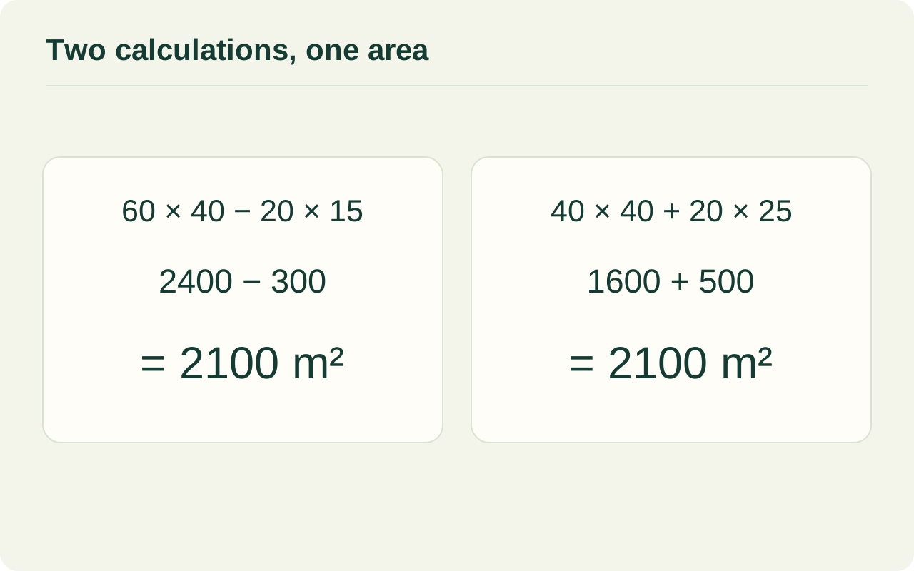
Calculate the complete outer rectangle first: 60 × 40 = 2,400 m². Next calculate the missing corner: its width is 60 − 40 = 20 m, and its height is 40 − 25 = 15 m. Its area is therefore 20 × 15 = 300 m².
Subtract the missing piece once: 2,400 − 300 = 2,100 m². This method is especially clear when the outer dimensions are easy to identify. Check that the missing rectangle lies entirely outside the L-shaped parcel, or the subtraction will remove land that belongs in the result.
Inspect the calculation diagram
Method two: add non-overlapping rectangles
Draw an imaginary vertical division at x = 40 m. On the left is a 40 × 40 m rectangle with area 1,600 m². On the lower right is a 20 × 25 m rectangle with area 500 m². Together they fill the L exactly, so their sum is 2,100 m².
The pieces must cover the outline once, with no gaps and no overlap. This is a calculation aid for the illustrated shape; it does not imply that LandRuler automatically splits a plot into rectangles. A different valid division would also work if its pieces cover the same area.
| Method | Parts | Result |
|---|---|---|
| Subtract | 60 × 40 − 20 × 15 | 2,100 m² |
| Add | 40 × 40 + 20 × 25 | 2,100 m² |
| Boundary check | 60 + 25 + 20 + 15 + 40 + 40 | 200 m |
Check perimeter separately from area
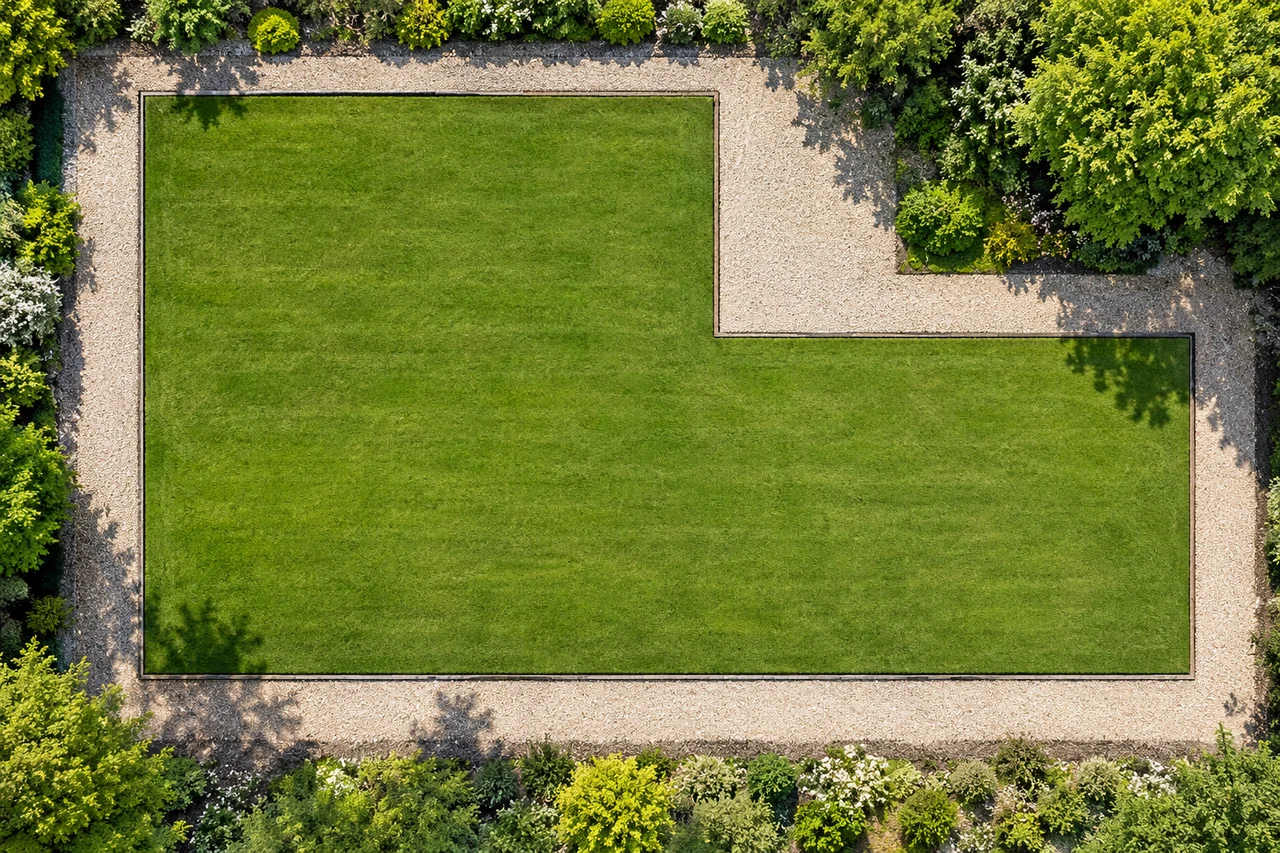
Walk around the six sides in order: 60 + 25 + 20 + 15 + 40 + 40 = 200 m. Notice that this equals the perimeter of the outer 60 × 40 m rectangle. Removing this corner replaces a 20 m horizontal edge and a 15 m vertical edge with equal-length edges farther inside.
Area falls by 300 m², while perimeter stays unchanged in this particular geometry. Do not generalize that result to every notch: a recess cut into the middle of one side can add boundary length. Internal division lines used for area calculations are never part of the outside perimeter.
Trace the concave corner instead of a shortcut
When tracing this shape in the area tool, include all six corners in boundary order. In particular, keep the inward corner at (40,25). Connecting (60,25) directly to (40,40) cuts across the excluded corner and adds a triangular area that is outside this parcel.
That shortcut triangle has legs 20 m and 15 m, so its area is 150 m². Omitting the inward corner would therefore show 2,250 m² instead of 2,100 m² in this example. Inspect the shaded interior as well as the numerical total; a plausible number can still describe the wrong outline.
Check that the dimensions close the outline
Before calculating area, check the opposing directions. In this example, the two leftward segments total 20 + 40 = 60 m, matching the rightward base. The two upward segments total 25 + 15 = 40 m, matching the downward side. If copied dimensions do not balance, the stated right-angled outline cannot return to its starting point as drawn. Recheck the labels rather than stretching a convenient rectangle to hide the mismatch. This catches inconsistent dimensions, but balanced totals alone do not verify the actual corner positions or prove that the field has right angles.
Use the two calculations as a check
Open LandRuler's area tool and trace the actual visible boundary, preserving inward turns. Compare a clearly rectangular example with a hand calculation before applying the method to a less regular shape. If results differ, inspect missing corners, dimension units, and overlapping pieces first.
The split and subtraction methods agree because they describe the same surface. For a real outline with sloping or curved edges, rectangles may only approximate it. Keep that approximation visible in your notes rather than forcing the boundary to match the convenient L-shaped model.
Common questions
Which method is better?
Use the one with the clearest known dimensions. Subtraction is compact when the outer rectangle and missing corner are known; addition is convenient when the two component rectangles are measured.
Should the internal dividing line count toward perimeter?
No. Perimeter follows the outside boundary of the complete shape. An imaginary split is only a way to organize the area calculation.
Sources and calculation notes
Figures and numerical scenarios are explanatory examples, not observed field results or application screenshots. Sources support the concepts listed below.
- OpenStax: Circles and Irregular Figures
Breaking irregular figures into familiar shapes; this article's dimensions and calculations are original.
- NIST: Circumference, Area and Volume
Rectangle and triangle area formulas and the boundary definition of perimeter.
Continue learning
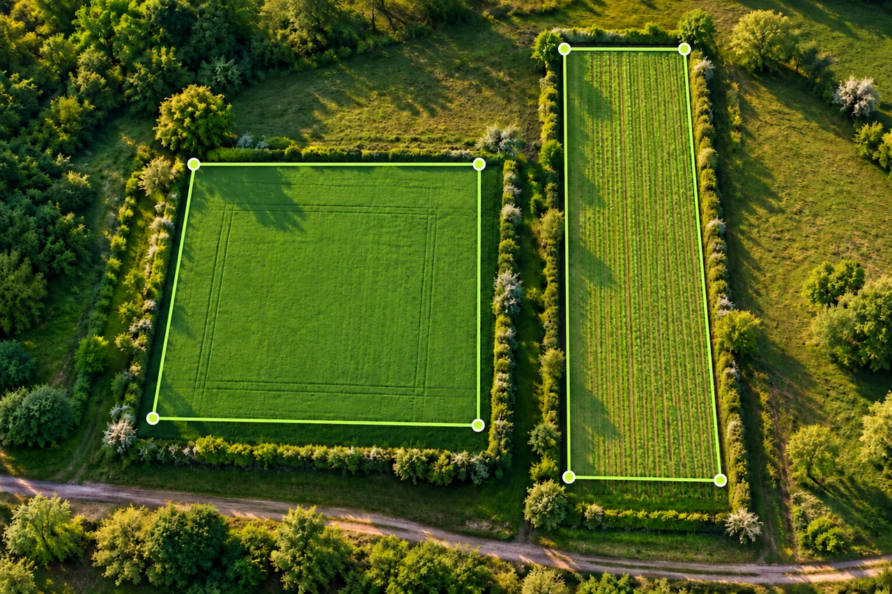
Land shapes and geometry
Can square metres become metres? Can perimeter give area?
Understand the missing dimensions behind area-to-length questions, with rectangles that share a perimeter or area but have different shapes.
Read the guide →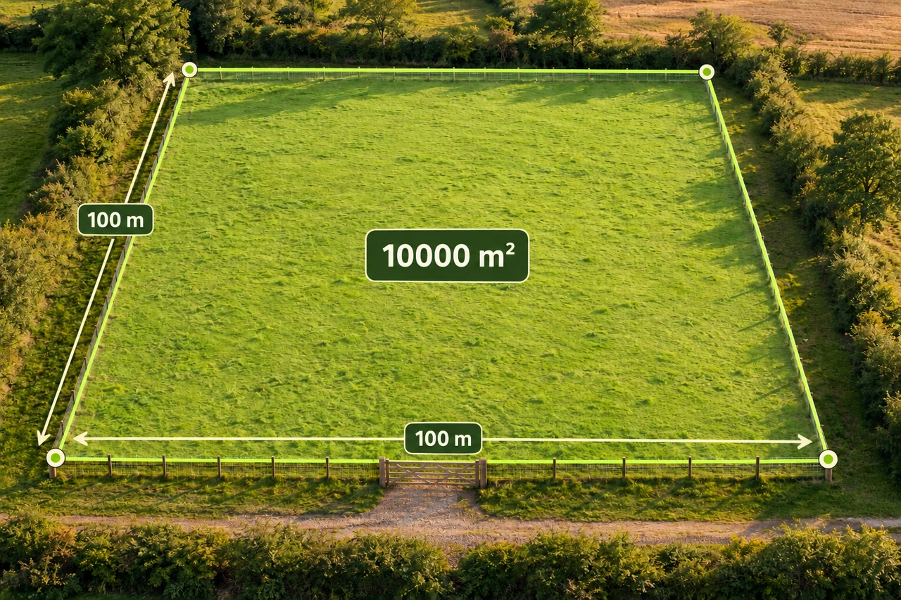
Planning and quantities
How much fence does one hectare need?
Compare three one-hectare shapes, subtract a gate, and turn perimeter into a careful first fencing materials estimate.
Read the guide →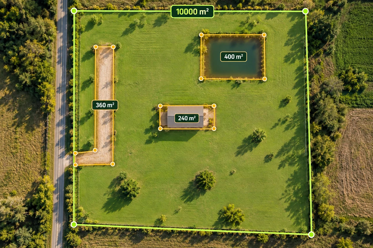
Planning and quantities
Calculate usable land area without subtracting twice
Build a transparent gross-to-net land area worksheet with buildings, access and water exclusions, including overlapping shapes.
Read the guide →