
Measurement guide
Accuracy and coordinates
Horizontal land area vs sloped surface area: a worked example
A hillside occupies one area when viewed from above and a larger area along its inclined surface. Choosing the right quantity matters before you compare map measurements with measurements made across the ground.
Land Ruler · · 4 min read
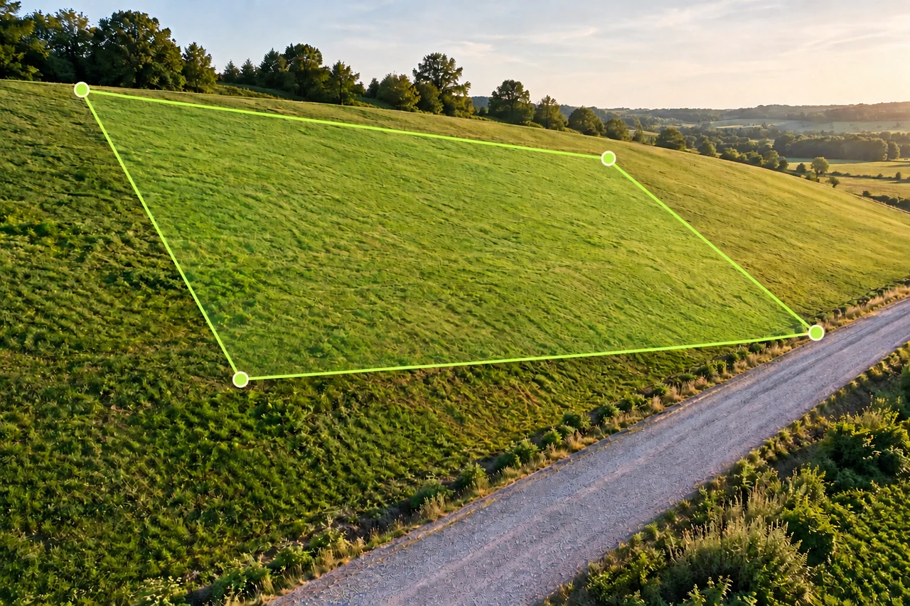
Define the area before doing arithmetic
Horizontal area is the footprint of the boundary on a horizontal reference surface. Imagine looking straight down while keeping the boundary in place. Surface area follows the terrain’s rise and fall. They approach one another on nearly level ground, but the distinction becomes useful as slopes increase. A map drawing alone does not describe all the ground between its corners.
Ask what you need to estimate. Comparing the size of two outlined fields is different from planning material that must cover an inclined surface. Write down whether your input dimensions are horizontal distances or lengths measured along the slope. Combining one of each without identifying their directions creates an inconsistent rectangle.
A 100 by 50 metre horizontal footprint
Consider a deliberately simple rectangular plane: its horizontal footprint is 100 m long and 50 m wide. The ground rises uniformly along the 100 m direction, with no cross slope across its width. Its angle above horizontal is 20°. The horizontal area is 100 × 50 = 5,000 m².
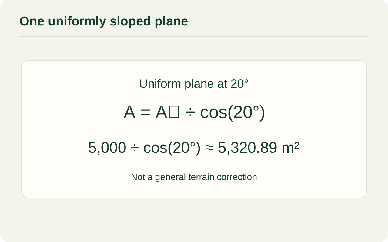
The sloping length is 100 ÷ cos(20°), approximately 106.4178 m. Multiplying that length by the unchanged 50 m width gives 5,320.89 m². Equivalently, divide the footprint area by cos(20°). The difference is about 320.89 m², or 6.42% of the horizontal area. These are geometric example values, not measured site data.
| Quantity | Calculation | Result |
|---|---|---|
| Horizontal area | 100 × 50 | 5,000 m² |
| Sloping length | 100 ÷ cos(20°) | 106.4178 m |
| Surface area | 5,000 ÷ cos(20°) | 5,320.89 m² |
Inspect the calculation diagram
Degrees and percent slope are different inputs
USGS defines percent slope using elevation change divided by horizontal distance, multiplied by 100. The angle is related through the tangent: percent slope = 100 × tan(angle). In the example, 20° corresponds to about 36.4% slope. Entering 20 as a percentage would describe a different incline.
Check the calculator’s angle mode before evaluating cosine. A degree value evaluated as radians produces the wrong correction. Also check whether the number supplied by a report describes a local steep section, a route average or the actual uniform plane you intend to model. The labels are part of the input, not optional decoration.
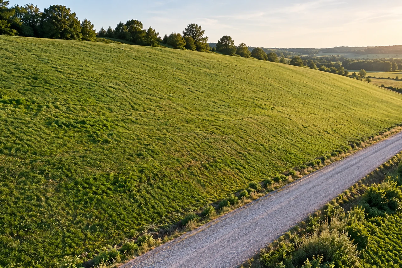
Why one average slope cannot fix a hillside
Real ground can contain benches, gullies, ridges and slopes pointing in several directions. One average angle discards that structure. Dividing an entire parcel by the cosine of a guessed average can hide flat areas and steep sections behind a plausible-looking total.
A more complete surface estimate needs terrain information at an appropriate resolution and a method that accounts for local surfaces. Even then, the scale of the terrain model matters: a coarse model misses small undulations. Do not present the idealized rectangle calculation as a way to recover detailed terrain from an outline alone.
Use the example in a planning note
Use the area tool to outline the horizontal planning footprint, then keep any separate slope assumption alongside the result. If you also estimate a length in the distance tool, say whether it is a map segment or an independently known ground length. Neither label should be silently substituted for the other.
Before ordering material, separate geometry from practical allowances. Overlaps, waste, spacing, obstacles and access can affect quantities for reasons unrelated to surface area. Record the footprint, slope source, uniform-plane assumption and rounding together so someone reviewing the estimate can see exactly what the calculation answers.
Common questions
Is a 20% slope the same as 20°?
No. Percent slope uses rise divided by horizontal run. A 20° slope is approximately 36.4%.
Can I apply this formula to a terraced field?
Not as one uniform plane. Terraces and connecting faces have different orientations, so the single-angle assumption fails.
Does drawing a polygon measure terrain surface area?
An outline alone does not supply the elevation detail needed for a terrain surface estimate. Treat this calculation as an explicitly stated geometric model.
Sources and calculation notes
Figures and numerical scenarios are explanatory examples, not observed field results or application screenshots. Sources support the concepts listed below.
- USGS: Determine Percent and Angle of Slope
Definitions of horizontal run, percent slope and angle; the surface-area example is derived geometry.
Continue learning
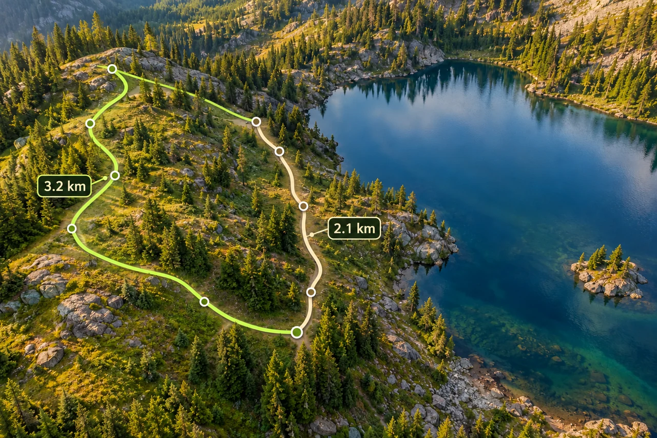
Routes and fieldwork
Measure a hiking route, including the way back
Trace bends, distinguish a walking path from a straight line, and compare an out-and-back with a loop using a worked distance example.
Read the guide →
Accuracy and coordinates
How accurate is phone GPS for measuring land area?
Separate phone GPS position, imagery alignment and boundary tracing when estimating land area. Understand uncertainty without misleading accuracy guarantees.
Read the guide →
Land shapes and geometry
Can square metres become metres? Can perimeter give area?
Understand the missing dimensions behind area-to-length questions, with rectangles that share a perimeter or area but have different shapes.
Read the guide →