Measurement guide
MAP MEASUREMENT GUIDE
How to measure land area on a map
Trace the outline of a field, garden or plot to estimate its area. The useful part is choosing the right boundary and checking what the result represents.
By Land Ruler ·
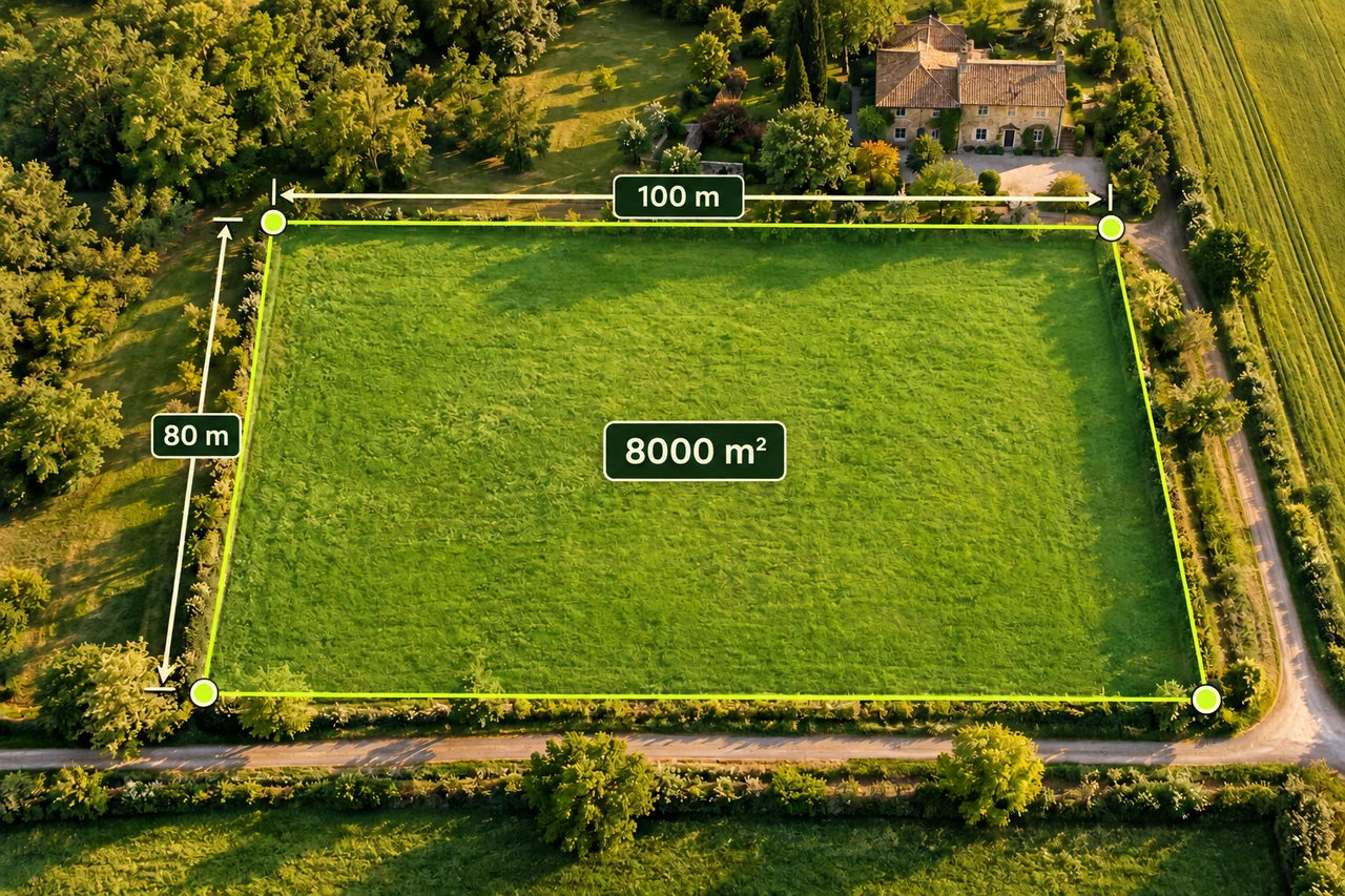
Trace the outline one edge at a time
- Find the correct location. Compare roads, buildings and other recognizable features so you do not measure a neighboring plot.
- Choose the boundary you mean. A cultivated edge, fence and legal parcel boundary can follow different lines. Decide whether you want the planted area, the whole visible enclosure or another outline.
- Place points around the perimeter in order. Start at an identifiable corner, then follow the edge clockwise or counterclockwise. Do not jump across the field.
- Add points where the direction changes. A long straight edge needs fewer points than a curved edge. Add enough points to describe bends without tracing every small image detail.
- Review the closed outline. Check that the last edge joins the first point as intended. Look for crossed edges, missed corners and accidental points before using the area.
If a road or pond lies inside your outline, the enclosing polygon includes it. To estimate only the usable land, measure excluded areas separately and subtract them, taking care not to subtract the same area twice.
Choose and check the units
Area uses squared units. A length of 100 metres is not an area of 100 square metres. For a rectangular example, 100 m × 80 m gives 8,000 m².
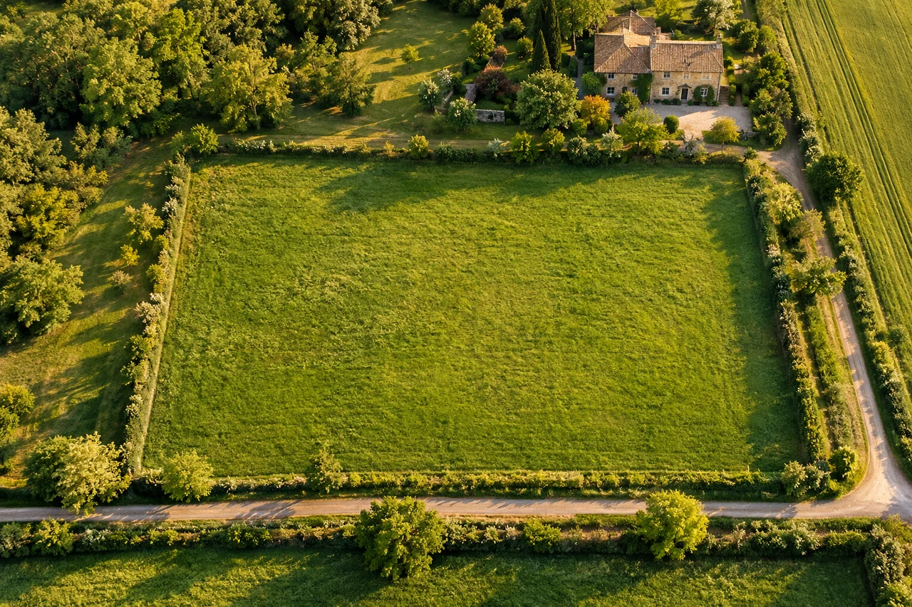
Inspect the calculation diagram
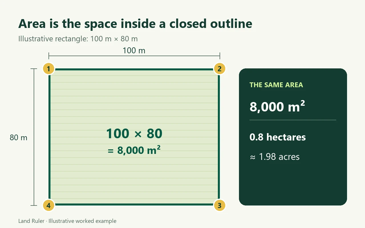
| Unit | 8,000 m² expressed in that unit |
|---|---|
| Square metres (m²) | 8,000 |
| Hectares (ha) | 0.8 |
| Acres | About 1.98 |
| Square kilometres (km²) | 0.008 |
One hectare is 10,000 m². One acre is 4,046.8564224 m². For an approximate map outline, round the converted number sensibly: extra decimal places do not make the boundary more accurate.
Check the estimate before you use it
- Zoom in to inspect corners. A point on the wrong side of a road can change the result substantially on a small plot.
- Compare with a rough shape. If a nearly rectangular plot looks about 100 m by 80 m, a result near 8,000 m² is plausible. A result ten times larger warrants a check of both outline and units.
- Trace it again independently. A noticeably different second outline is a reason to inspect your point placement. Agreement between two traces does not prove the boundary is correct.
- Record what you measured. Note whether the outline includes buildings, lanes or uncultivated margins so a later comparison uses the same definition.
Know what a map estimate can tell you
A manual trace depends on the image and the points you choose. Trees, shadows, old imagery and unclear edges can hide the intended outline. A flat map outline also does not describe all the ups and downs of sloping ground; do not treat it as a measurement of the physical ground surface.
For a quick planning estimate, start with the map area calculator. If you also need the length around the edge or along a path, read map distance versus driving distance to choose the right kind of measurement.
Trace your areaMore measurement guides
Keep a measurement note you can reproduce
Record the purpose, the visible edge you selected, included or excluded spaces and the result unit together. Mark a disputed edge separately; changing only that edge in a second trace helps identify the source of a difference. Leave the imagery date unknown if it is not available.
Put this measurement to work
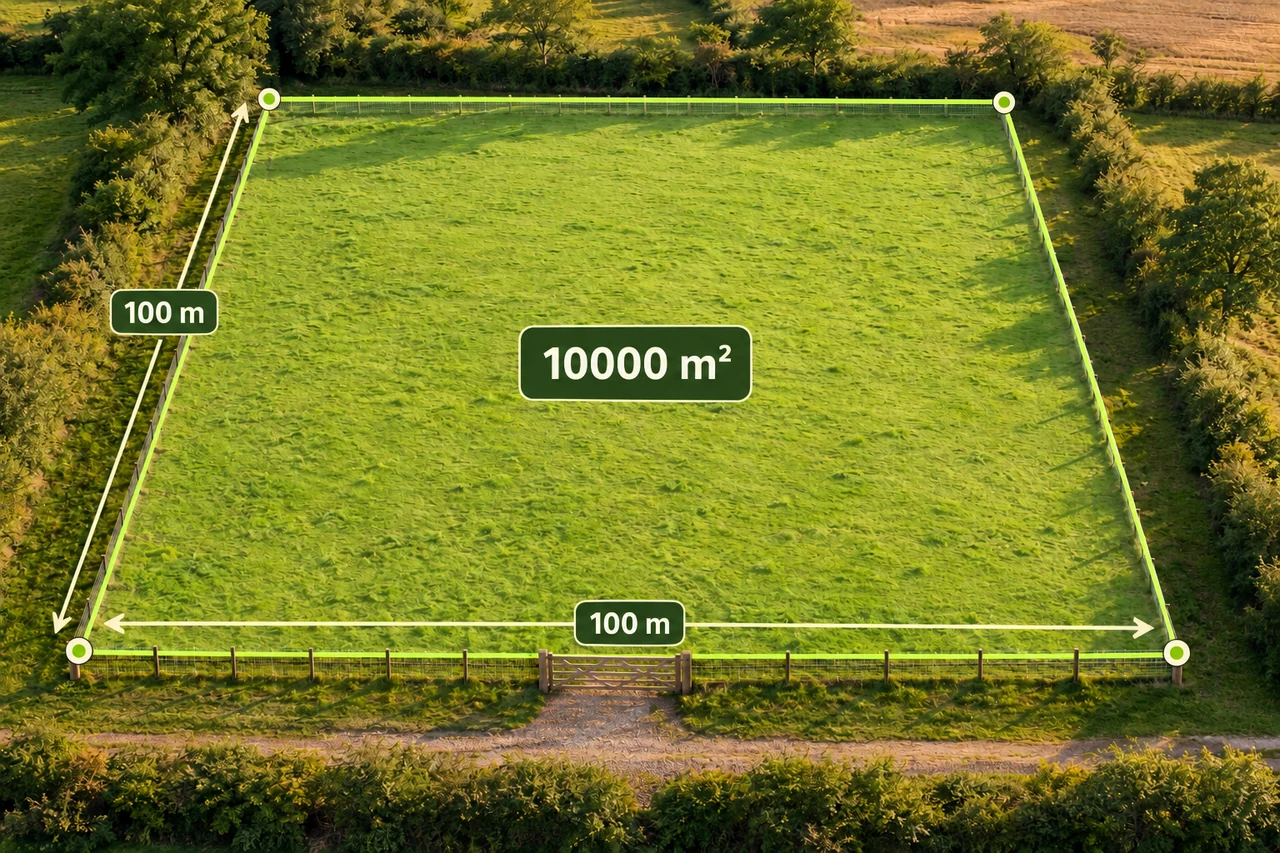
Planning and quantities
How much fence does one hectare need?
Compare three one-hectare shapes, subtract a gate, and turn perimeter into a careful first fencing materials estimate.
Read the guide →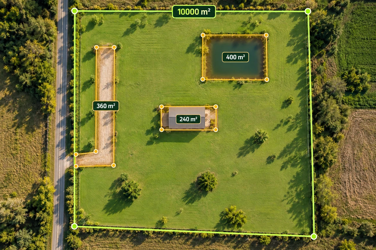
Planning and quantities
Calculate usable land area without subtracting twice
Build a transparent gross-to-net land area worksheet with buildings, access and water exclusions, including overlapping shapes.
Read the guide →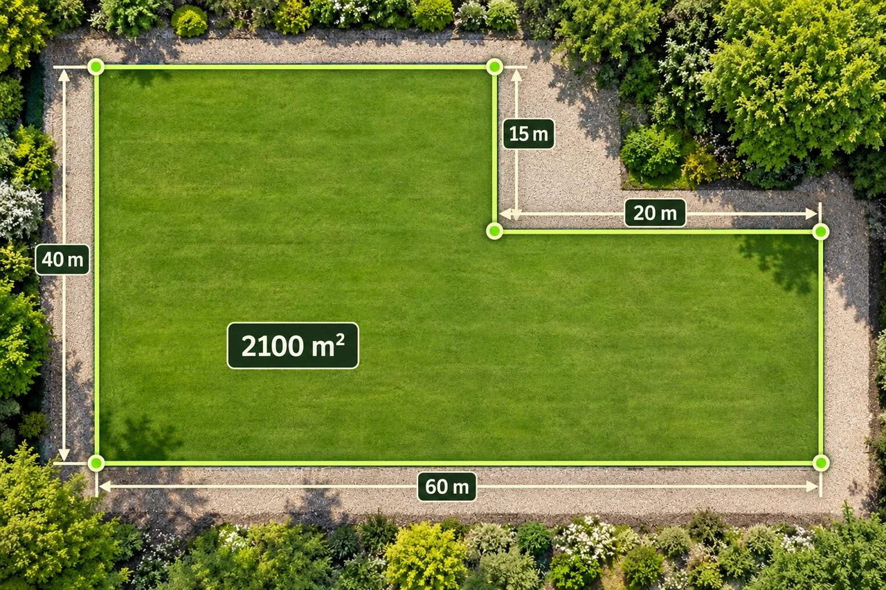
Land shapes and geometry
Calculate L-shaped land area in two ways
Find a concave plot's area by subtracting a missing corner or adding rectangles, then check every boundary segment.
Read the guide →