Measurement guide
DISTANCE MEASUREMENT GUIDE
Map distance vs driving distance: which should you use?
Two places can have several useful distances between them. A direct line, a traced path and a road journey answer different questions.
By Land Ruler ·
Three meanings of distance
| Measurement | What it represents | Useful for |
|---|---|---|
| Point-to-point distance | The direct map distance between two selected locations | Separation between landmarks or the length of a straight edge |
| Manually drawn path | The sum of the segments between the points you place | A field edge, visible trail or route you trace yourself |
| Driving distance | The length of a road route chosen by a routing service for a vehicle | Planning a car journey using a directions service |
A line you draw does not automatically follow roads. Adding points around a bend can approximate the visible path, but it does not check one-way rules, turn restrictions, private access or whether a crossing is possible.
A simple example: across a field or around its edge
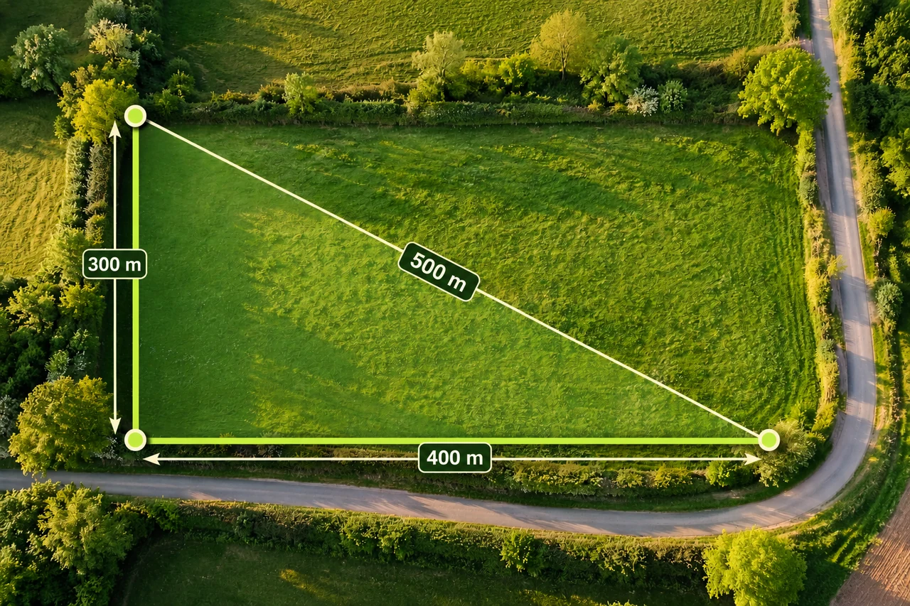
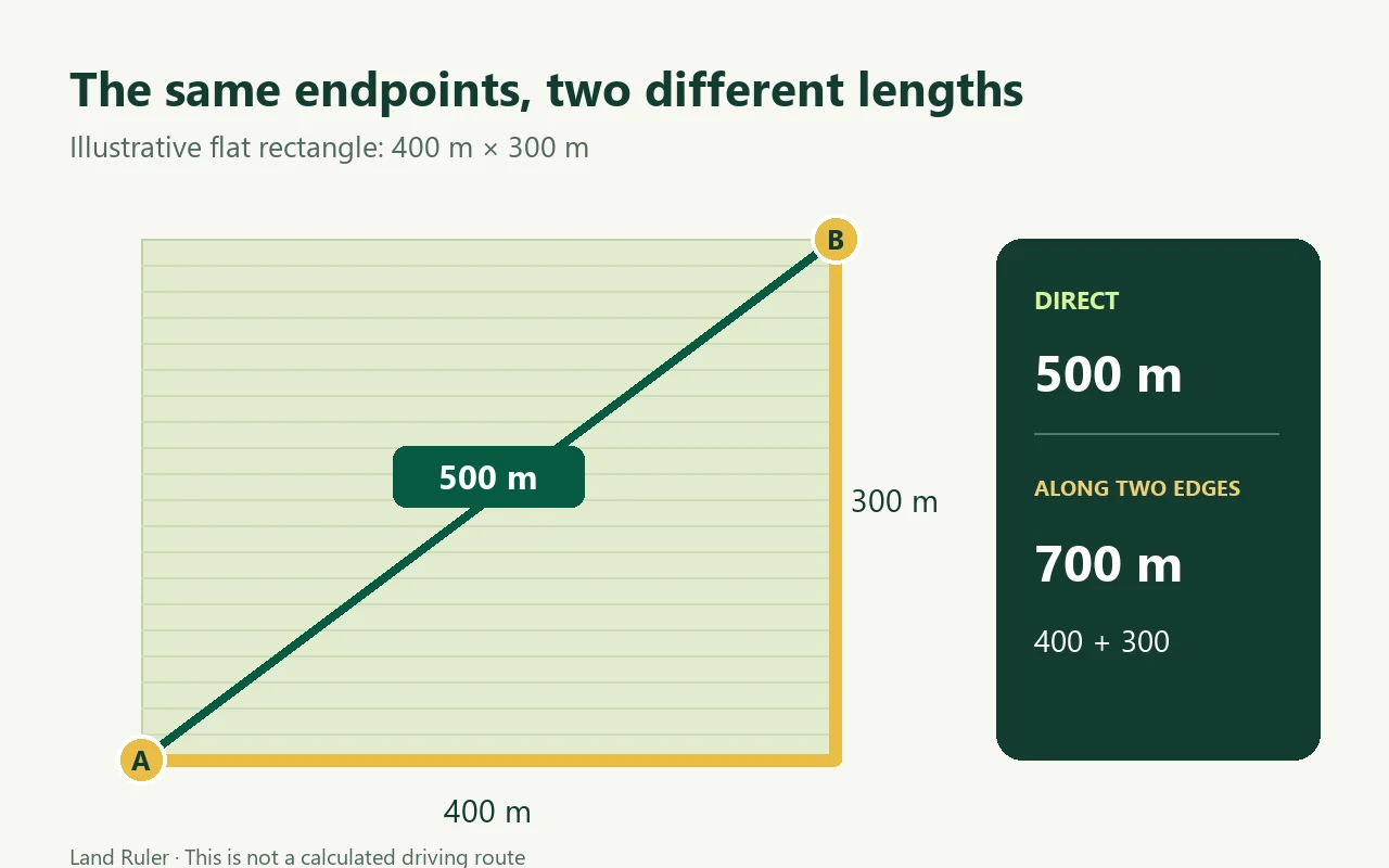
Imagine a flat rectangular field 300 m long and 400 m wide. Between opposite corners, the direct distance is 500 m, using √(300² + 400²). Following two edges instead gives 300 + 400 = 700 m. Both answers are correct for the paths described.
A drive between entrances could be longer again if the road goes around neighboring land. The two field measurements alone cannot determine that driving distance. A driving route also does not provide a fixed travel time: traffic and other conditions can change the journey.
Inspect the calculation diagram
How to trace a path carefully
- Choose exact start and finish points. A gate, building entrance and road junction are different endpoints even if they share a place name.
- Follow the path in order. Place points at changes in direction. For a curve, use several short segments so the line does not cut across the inside of the bend.
- Check for shortcuts and stray points. A missed turn shortens the result; an accidental detour can lengthen it.
- Confirm whether you need one way or a return trip. Double the distance only when the return follows exactly the same path.
- Read the unit before sharing. 1,500 m equals 1.5 km. One mile is 1.609344 km, and one foot is 0.3048 m.
For an illustrative curved path, a two-point measurement might span 600 m while a careful trace totals 750 m. That difference comes from the outline you drew; it is not evidence that the traced line is a road route.
Choose the measurement that matches your decision
- For a fence line or field edge: trace the intended alignment. Check access and the actual boundary separately before work starts.
- For a visible trail: trace the bends for a planning estimate. Imagery may hide paths under trees or show paths that are no longer usable.
- For a car journey: use a directions service that accounts for the road network and check the route for your vehicle.
- For ground work on a slope: a flat map trace does not capture the full three-dimensional length along uneven terrain. Check measurements on site when the physical length matters.
Use the map distance calculator to measure a line you define. For the space inside a plot, see how to measure land area on a map and the area calculator.
Trace a distanceMore measurement guides
Keep a measurement note you can reproduce
Record the endpoints, manually traced path, one-way or return choice and result unit together. Count each traversal if you will walk a section again; do not add the return twice when a total already includes it. Do not label a drawn map length as road access or travel time.
Put this measurement to work
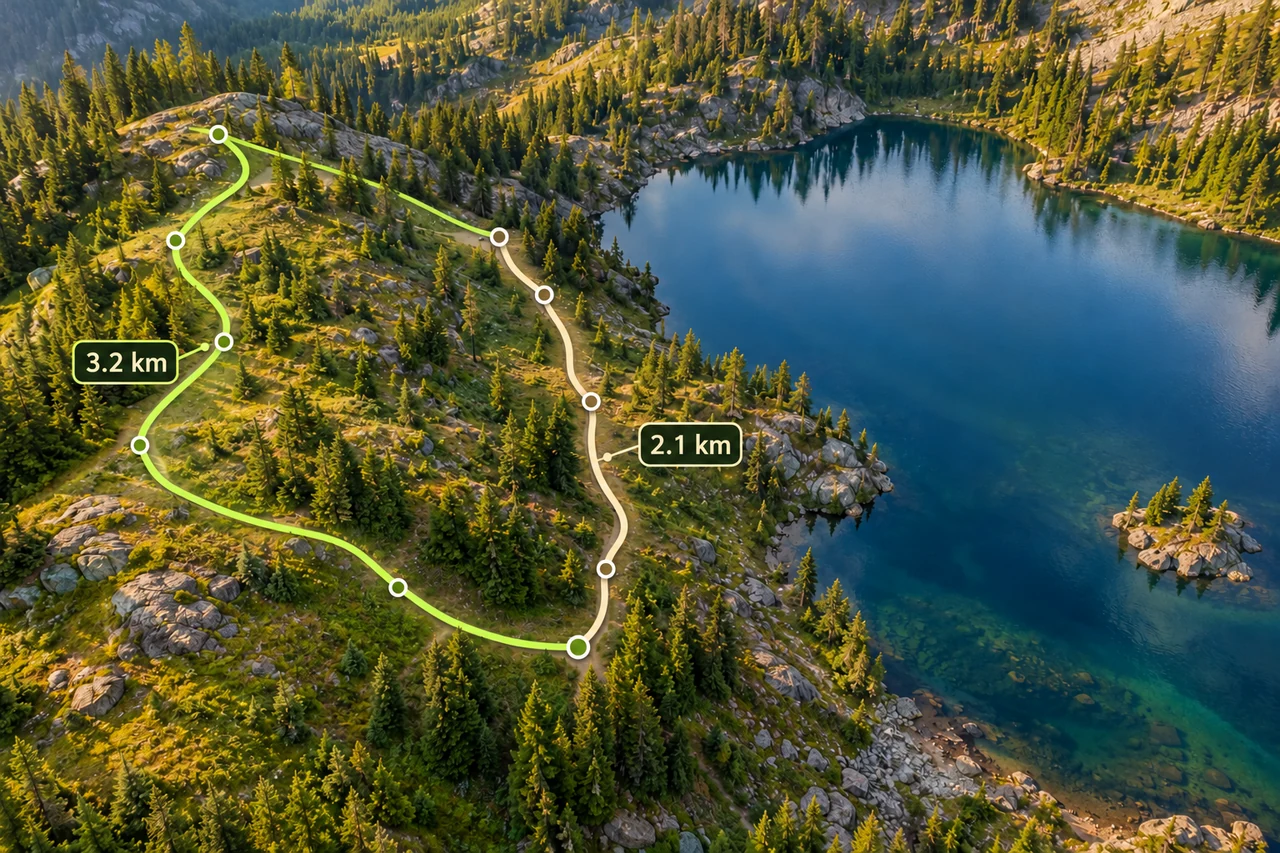
Routes and fieldwork
Measure a hiking route, including the way back
Trace bends, distinguish a walking path from a straight line, and compare an out-and-back with a loop using a worked distance example.
Read the guide →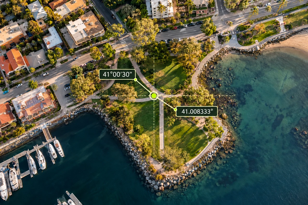
Accuracy and coordinates
How to read latitude and longitude: decimal degrees and DMS
Read coordinate labels, convert degrees minutes seconds to decimal degrees, and check order, hemisphere and datum before locating land on a map.
Read the guide →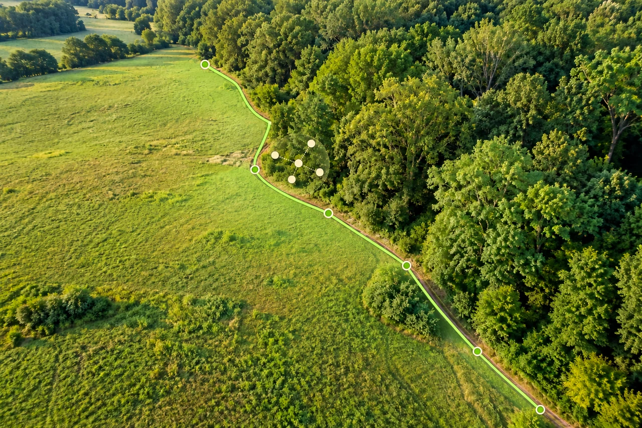
Accuracy and coordinates
How accurate is phone GPS for measuring land area?
Separate phone GPS position, imagery alignment and boundary tracing when estimating land area. Understand uncertainty without misleading accuracy guarantees.
Read the guide →