
How to calculate land area on a map
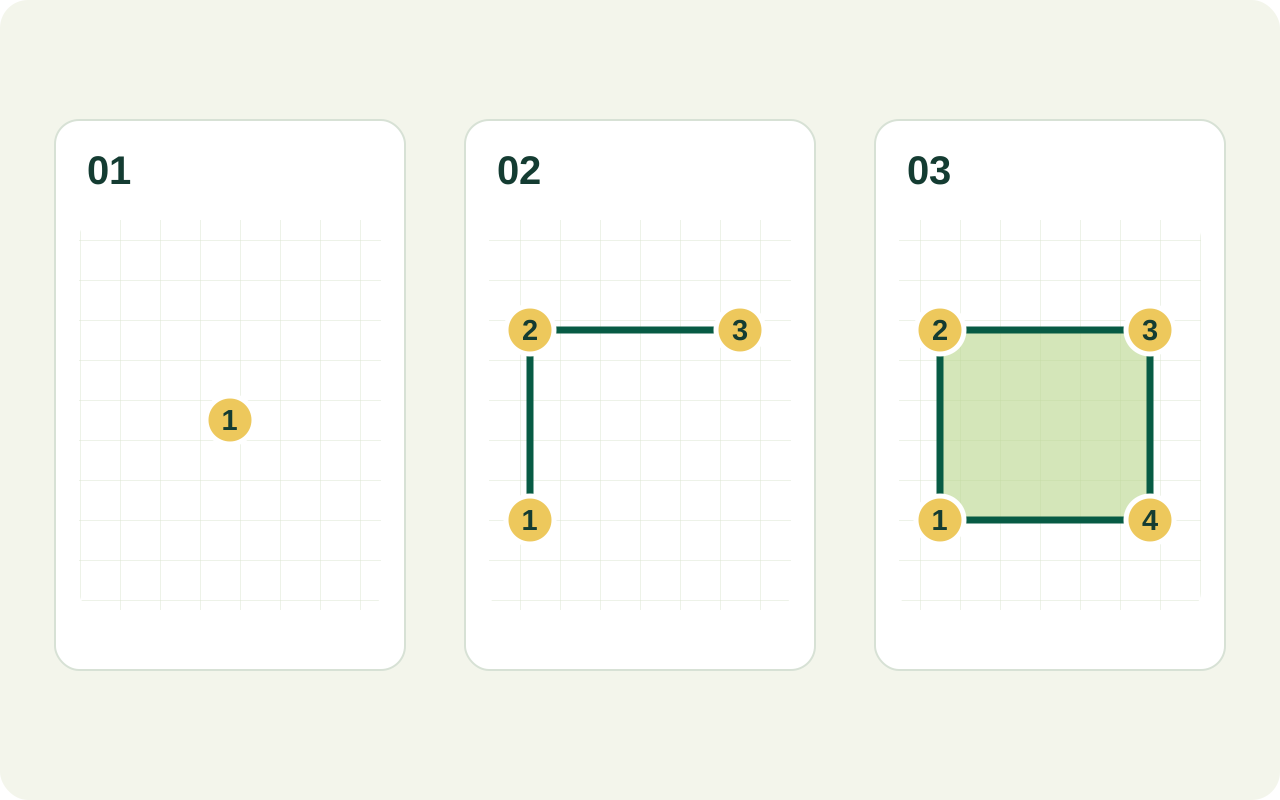
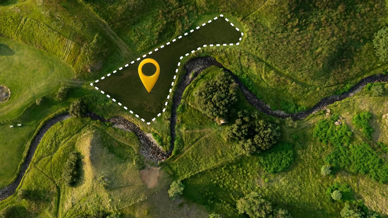
- Locate the whole site. Open the area tool and move the map to the field or plot. Zoom in enough to recognise the boundary without losing the overall shape.
- Mark the boundary in order. Place points around the outside, following each corner and meaningful change in direction. Keep the outline from crossing over itself.
- Check the shape before the number. Look for a missed corner, a point on the wrong side of a hedge, or a straight line that cuts across a curved edge.
- Read and record the estimate. Note the unit along with the value. A number in square metres and the same number in hectares describe very different areas.
For an irregular field, use more points where the edge bends. Adding many points along an already straight edge does little to improve the outline. If trees or shadows hide the boundary, check another reliable reference before relying on the result.
Square metres, hectares and acres
Area uses square units because it describes a surface. A distance in metres cannot be converted to square metres without knowing the shape and its dimensions.
| Unit | Equivalent area |
|---|---|
| 1 hectare (ha) | 10,000 m² |
| 1 square kilometre (km²) | 1,000,000 m² · 100 ha |
| 1 acre | 4,046.8564224 m² · approximately 0.404686 ha |
To convert square metres to hectares, divide by 10,000. To convert square metres to acres, divide by 4,046.8564224. Keep enough digits during the calculation and round only the final result.
An illustrative field example
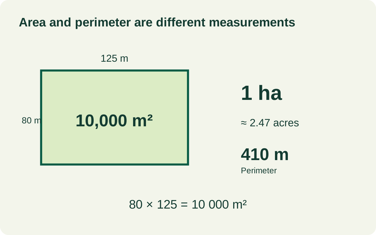
Example only: a rectangular plot measuring 80 m by 125 m has an area of 80 × 125 = 10,000 m². That is 1 hectare, or approximately 2.47 acres. Its perimeter is 2 × (80 + 125) = 410 m.
A real field rarely forms a perfect rectangle. Trace its actual outline instead of multiplying its longest width by its longest length; that shortcut includes ground outside an irregular boundary. The boundary length is its perimeter, a separate measurement from its area.
Use map measurements for early comparisons, rough material planning and discussions about a site. Image alignment, point placement and unclear edges all affect the estimate. Establishing a legal property boundary requires the relevant records and a qualified survey.
Area calculator questions
Can I measure an irregular plot?
Yes. Follow its perimeter with a series of points, adding points at changes of direction. Check that the outline represents the land you intend to include and does not cross itself.
Is the result the same as the land's sloping surface area?
A map outline represents area in a horizontal map view. Ground that slopes or undulates can have a larger surface area, so use a terrain-aware method when that distinction matters.
Does tracing a fence prove the property boundary?
No. A visible fence or hedge may not follow the legal boundary. Use authoritative property records and professional surveying when ownership or construction limits are involved.
Check your outline or choose another calculation
For irregular boundaries, excluded areas and a second check of your result, follow our guide to measuring land area on a map.
Already have an area value?
Use the area unit converter to convert square metres, hectares and acres without drawing the boundary again.
Working with a circle?
Use the map radius calculator when the area is defined by a centre and a radius, rather than an irregular field edge.
Need a different measurement?
Browse all Land Ruler measurement tools or use the map distance calculator for a line or path.
Check an L-shaped plot with a simple subtraction
Suppose the outer rectangle is 60 m long and 40 m wide, but a 20 m by 15 m corner lies outside the plot. Measuring only the outer rectangle would include that missing corner.
| Part of the calculation | Working | Area |
|---|---|---|
| Outer rectangle | 60 m × 40 m | 2,400 m² |
| Missing corner | 20 m × 15 m | 300 m² |
| Plot to include | 2,400 − 300 | 2,100 m² |
For these assumed dimensions, 2,100 m² is 0.21 ha. On the map, follow the inward corner as part of the actual outline. The subtraction above is a separate arithmetic check, not an automatic exclusion command. If your check gives 2,400 m², look for the missing corner before changing units.
The same area can need a different fence length
| Dimensions | Area | Perimeter |
|---|---|---|
| 50 m × 50 m | 2,500 m² | 2 × (50 + 50) = 200 m |
| 25 m × 100 m | 2,500 m² | 2 × (25 + 100) = 250 m |
The longer rectangle needs 50 m more boundary length before considering gates, despite having exactly the same area. Keep the area for coverage calculations and the perimeter for boundary work. Our guide to area and fence length explains this distinction; the fence calculator provides a separate rectangular-plot example with a gate opening and post spacing.
Use the measured area in a quantity calculation
Enter the area yourself in the seed calculator for your chosen application rate, the sod calculator for supplier roll coverage, or the paver calculator for nominal stone dimensions. Choose a calculator above and press Use this measurement to calculate here while keeping the same map and drawing open.